A Sad Farewell
This was a very different trip for us, devoid of much of the excitement that traditionally comes along with a 10-day vacation. This time we were saying goodbye to a dear old friend. While Kris and I were newlyweds we found a small black and white puppy in a cardboard box in the dead of winter. Kris picked him up and put him in her coat and we had a dog. Every day for the last fifteen years he has been there; greeting us at the door whenever we returned, offering us his favorite toy. But fifteen years is a long time for any dog and the time had come for him to go to the giant dog park in the sky. Needless to say, Kris and I were gutted.
Check out a small Gallery of Jake the Dog, including a few puppy photos.
We have an great vet who came to the house, Kris, Sprocket (our Chihuahua) and I gathered around as he slept under his favorite tree in the back yard and we said our goodbyes. The next day we set out. The idea of spending ten days alone in our helmets sounded like a great way to mourn and begin the healing.
Skip Ahead
- Saturday – Snake River Plain
- Sunday – Into Oregon
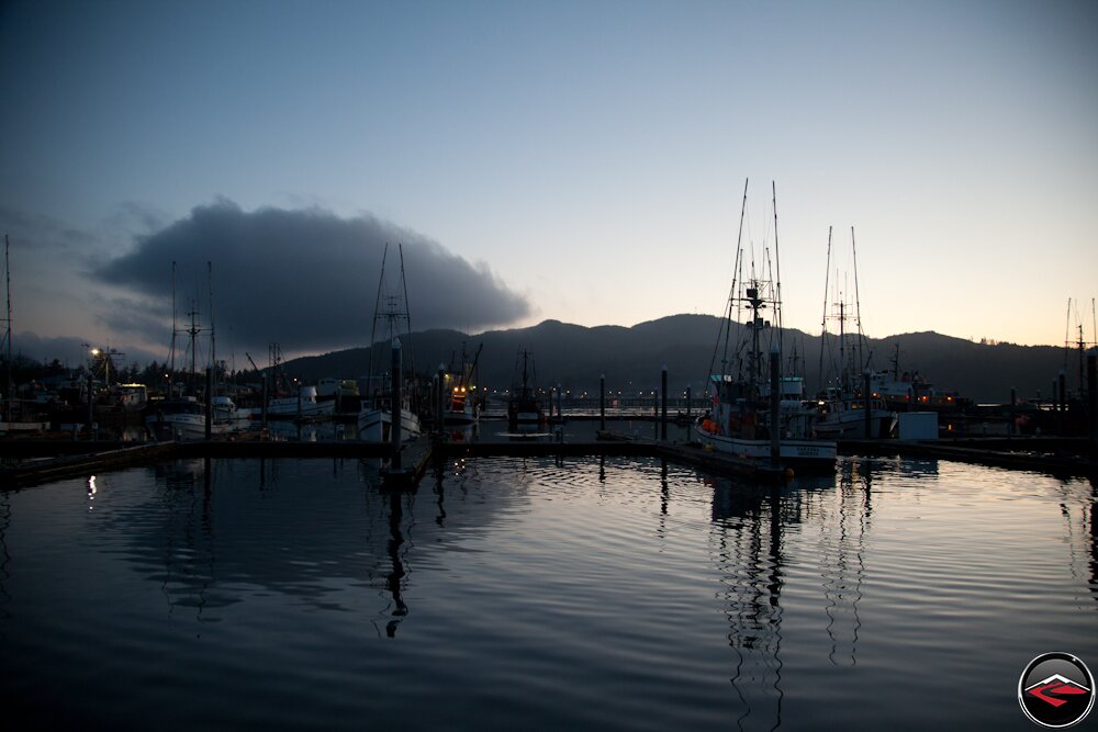
- Monday – To the Coast
- Tuesday – The Olympic Peninsula
- Wednesday – Ocean Voyage to an Island
- Thursday – Stunning Vancouver Island
- Friday – The Sunshine Coast
- Saturday – The Final Push To Home
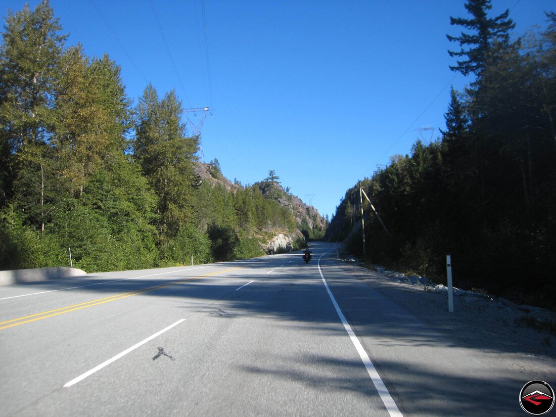
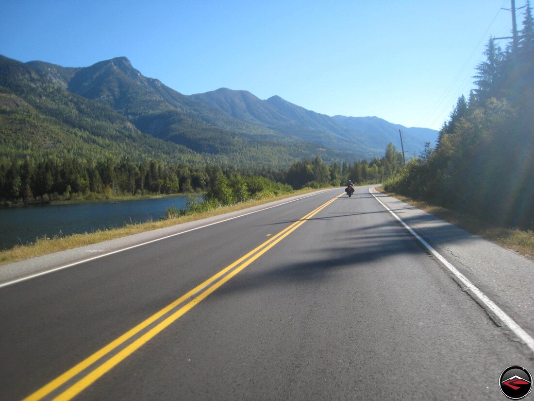
Snake River Plain
And a Special Delivery
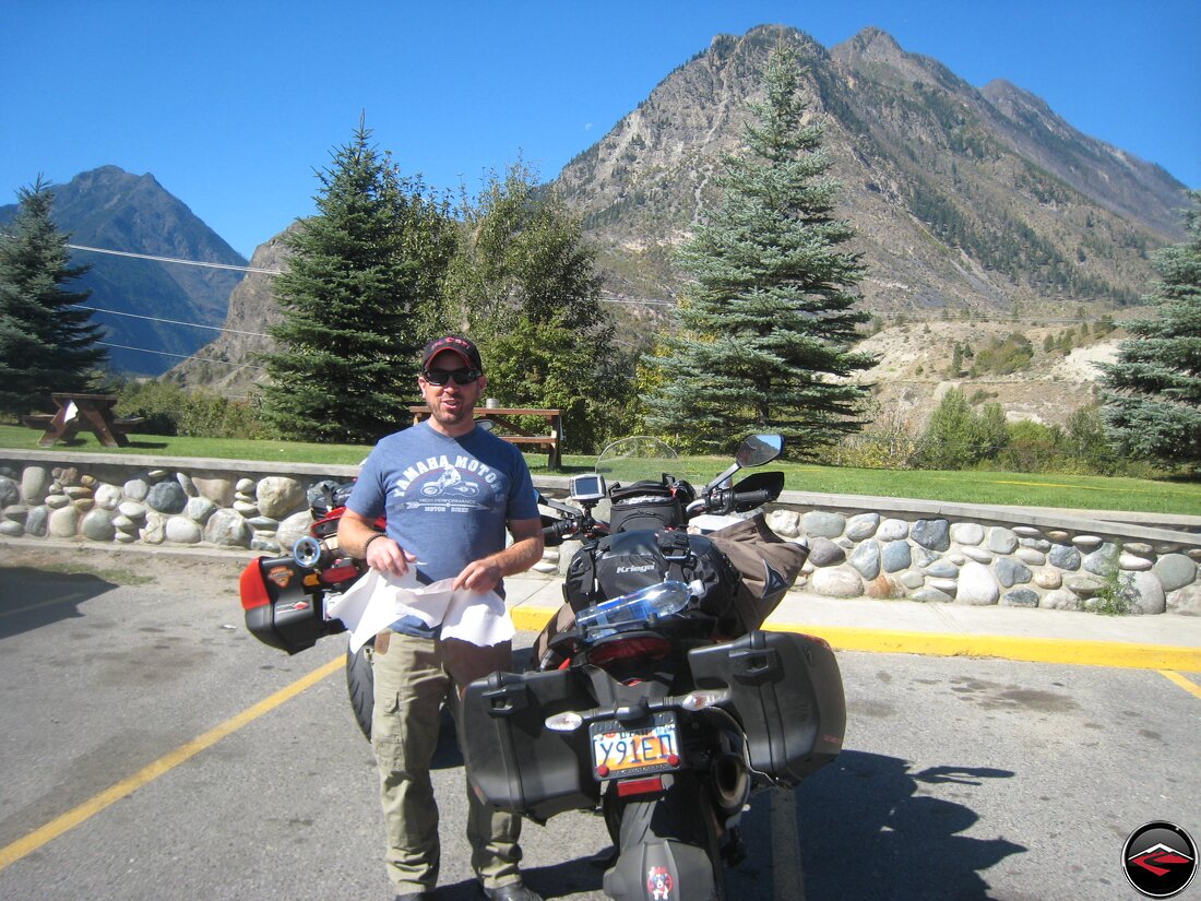
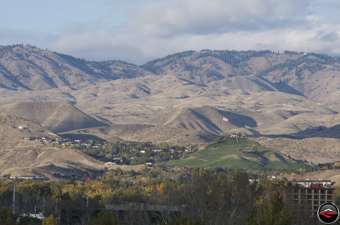
So the plan was to bring the bikes up to Boise where Ryan and Amy had relocated for work. He had been unable to get his bike to Boise, so we thought it was the best time to bring it up to him in exchange for a parking spot.
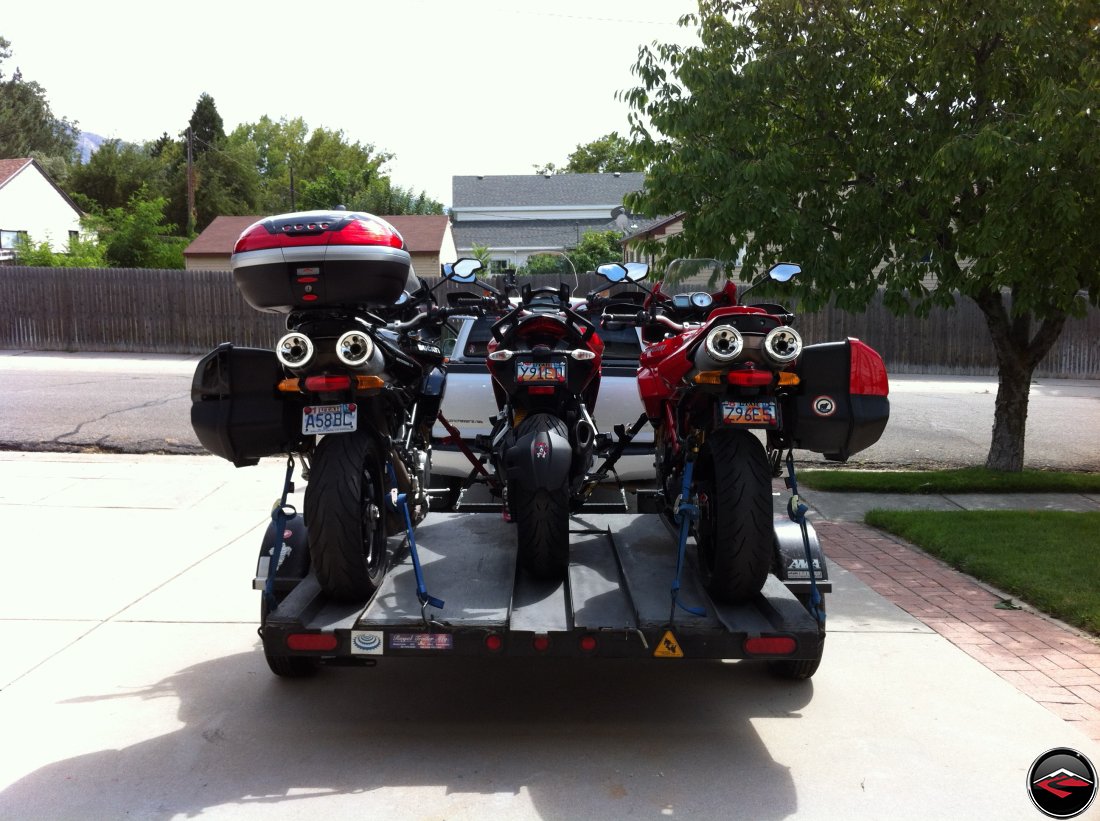
Everyone said there was no way we’d be able to get three full-sized motorcycles onto our venerable little three-rail trailer, but this little workhorse has never failed to deliver. Needless to say, we had been a little out-of-sorts all week and neglected to get some things we needed. Fortunately, our friends at Salt Lake Motorsports had our backs and did some priority ordering. Our items arrived just as we were heading out of town. We swung by the shop and Chris, the GM, personally ran out to the street and delivered the package. Handing off the extra soft luggage he said “We’ll settle up when you get back. Have a safe trip.” And just like that, we were off.
Into Oregon
By Means of Roads that Look Nothing Like Oregon
We spent the night in a cheap hotel, and beyond all reason, Eric and Dawn were also passing through. So we were able to meet up with a good portion of the CanyonChasers gang; Ryan, Eric and Dawn. After breakfast we unloaded the bikes, tucked the truck in for the week and set out into the cool morning air.
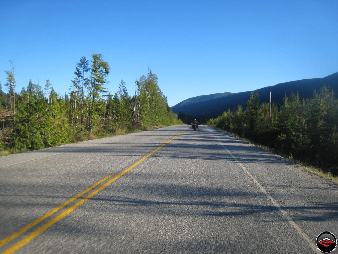
We weren’t in Boise for long before we set out towards Oregon. Rather than taking all the main roads, we did what we normally do and starting wandering our way along with a series of tiny B-roads.
We could smell we weren’t home anymore. Just west of Boise is Vale, Idaho. Famous for, not potatoes, but onions. We were there just in time for harvest.
I had spent a lot of time plotting out the route on my trusty Garmin, but there was a disconnect between map data and what was actually on the ground. I had hoped to avoid a lot more roads like these by taking a small side route. Our side-route started out fine enough, but soon turned to dirt, and soon after that turned into rough dirt.
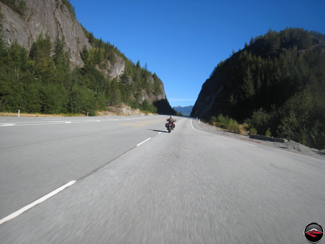
We tried to be adventurous, we really did. But after about 15 miles or so, we gave up and returned back to the pavement. Once back to ID-26 we continued working our way westward and soon, the straight roads were behind us and we were, once again, meandering our way through the mountains of the Malheur National Forest.
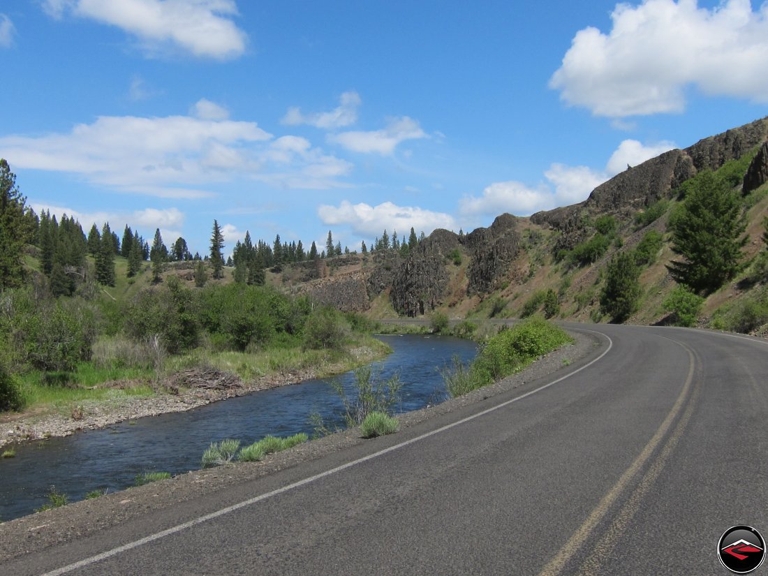
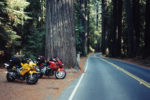
Near Bates, Idaho, we turned off onto a much smaller road named the “Old West Scenic Bikeway”. With a name like “Bikeway”, we couldn’t pass it by. Based on the number of bicycles we saw on this road, we must surmise that “Bikeway” must mean bicycle-way. But no matter. The road was a fantastic array of sweeping corners that followed the meanderings of the Middle Fork John Day River.
We stopped in Long Creek for lunch at the Stampede General Store before heading west on OR-402 Long Creek Highway then in the small dot-of-a-town of Kimberly, we turned right and made our way over OR-19 which connected us back with OR-26.
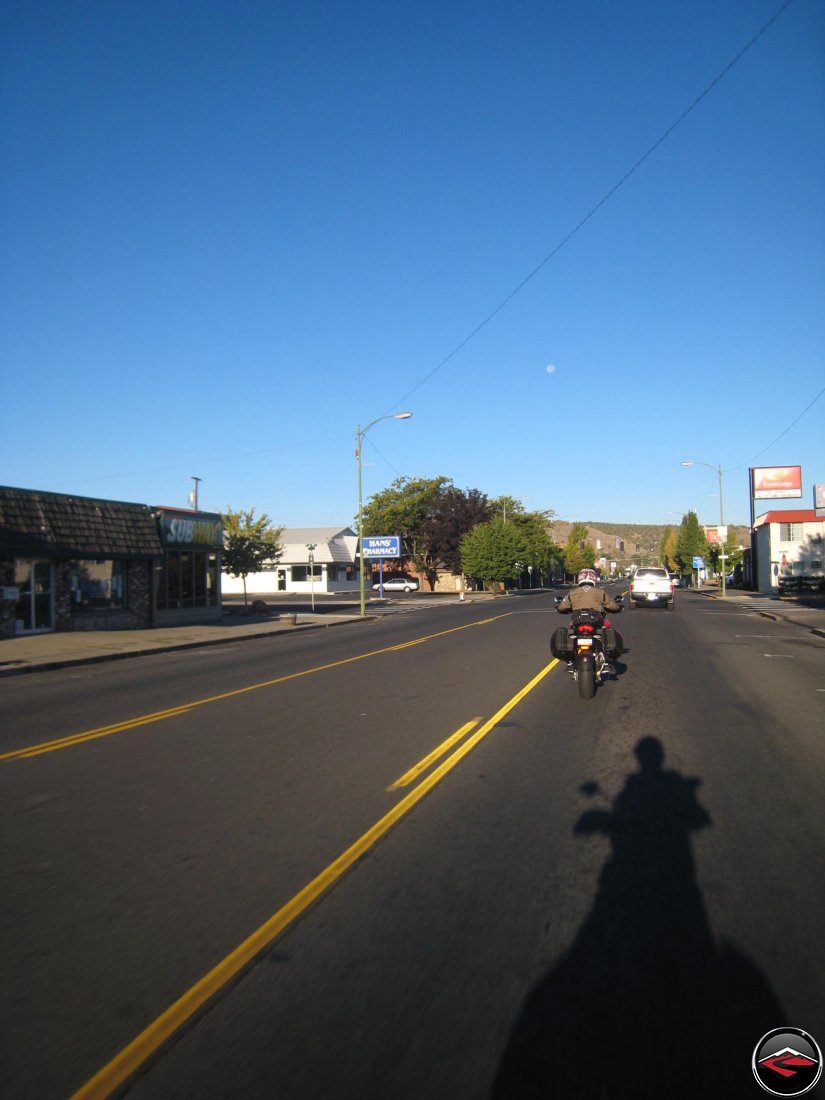
As we rolled into Prineville, Oregon the sun was getting low in the horizon and we were starting to get tired. We stopped for Gas and watched a somewhat tense scene as a Hells Angel showed up and started making a fuss about something. Fortunately, he didn’t make too much of a fuss and went on his way.
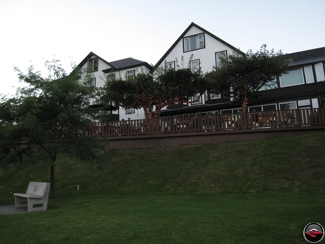
We opted to stop for the evening and found a quaint little hotel. After we unloaded the bikes anc climbed into sneakers, we walked a couple of blocks to the nearest grocery store where we purchased some fruit, cheese and a bottle of wine.
To the Coast
Labor Day Weekend
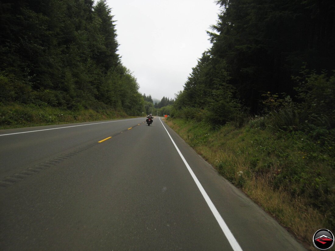
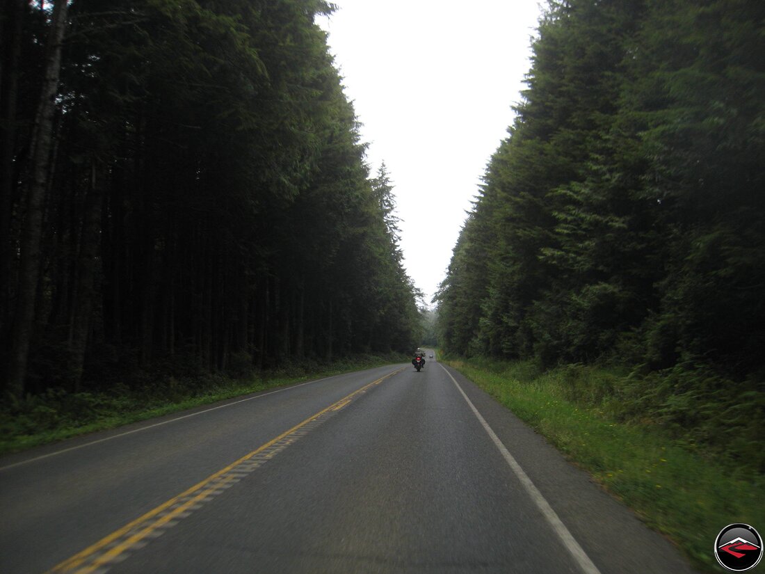
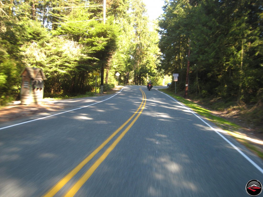
We were excited to start rolling because today we’d make the coast, and being a couple of kids from the Rocky Mountains, the coast has never lost it’s excitement and magic. Plus the run between Corvallis and Waldport is one of our most favorite roads.
It’s Labor Day weekend and it should still be warm, right? Well, not so much. As we left Prineville behind us, we headed west along OR370, a small farming road that followed the cleverly named “Crooked River” and as soon as we got next to the water the temperatures dropped precipitously.

The Ducati temperature gauge will read “Ice” when there is a threat that something might be frozen, so at about 37 degrees. Not, literally freezing, but after the long, hot summer we’d endured back in Salt Lake City, it sure felt like ice.

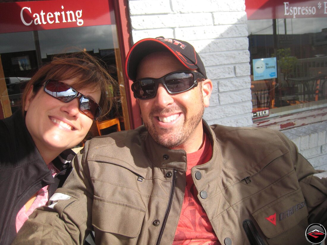
When we arrived in Sisters, it wasn’t a moment too soon. We stopped at one of our favorite breakfast nooks and sat down for some steaming cups of joe and to allow our fingers and toes to warm up while we allowed the things outside to do the same.
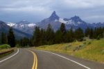
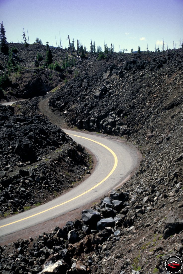
After breakfast, we headed up a road that we’d somehow missed every other time we’d come this way; Highway 242. What makes 242 so fantastic is that it splits between Mt Washington and just north of the North Sister peak (of which the town of Sisters is named). North Sister, Middle Sister, South Sister, and Mt. Bachelor. Get it?

But nobody told us that after just a few miles of perfect pine tree scenery, near the top of McKenzie Pass, the world opened up into a massive rock field devoid of almost all vegetation. Check out Mount Washington in the background.

This is a fantastic bit of road as it winds and twists its way around ancient piles of sharp, black rock. The route basically follows the old wagon route over, right over the lava beds. Now would not be a good time to run off the road.
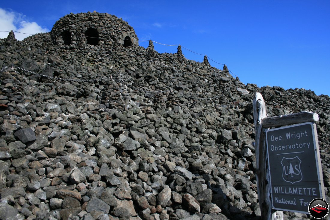
In the center of it all is Dee Wright Observatory. Constructed by the Civilian Conservation Corps during the great depression, this massive open structure has windows cut out that align perfectly to see all the prominent mountains and peaks.

And to imagine crossing this area on a Wagon, or to build this structure using the tools offered the CCC. Rather fantastic.
Did I mention, this would be a terrible place to run off the road? Despite the risk, cornering was fantastic and scenic enough that you didn’t mind going super slow as to not run into those rocks. Whats more, despite it being Labor Day weekend, there was virtually no traffic in the area, allowing is to ride through this mostly unencumbered.
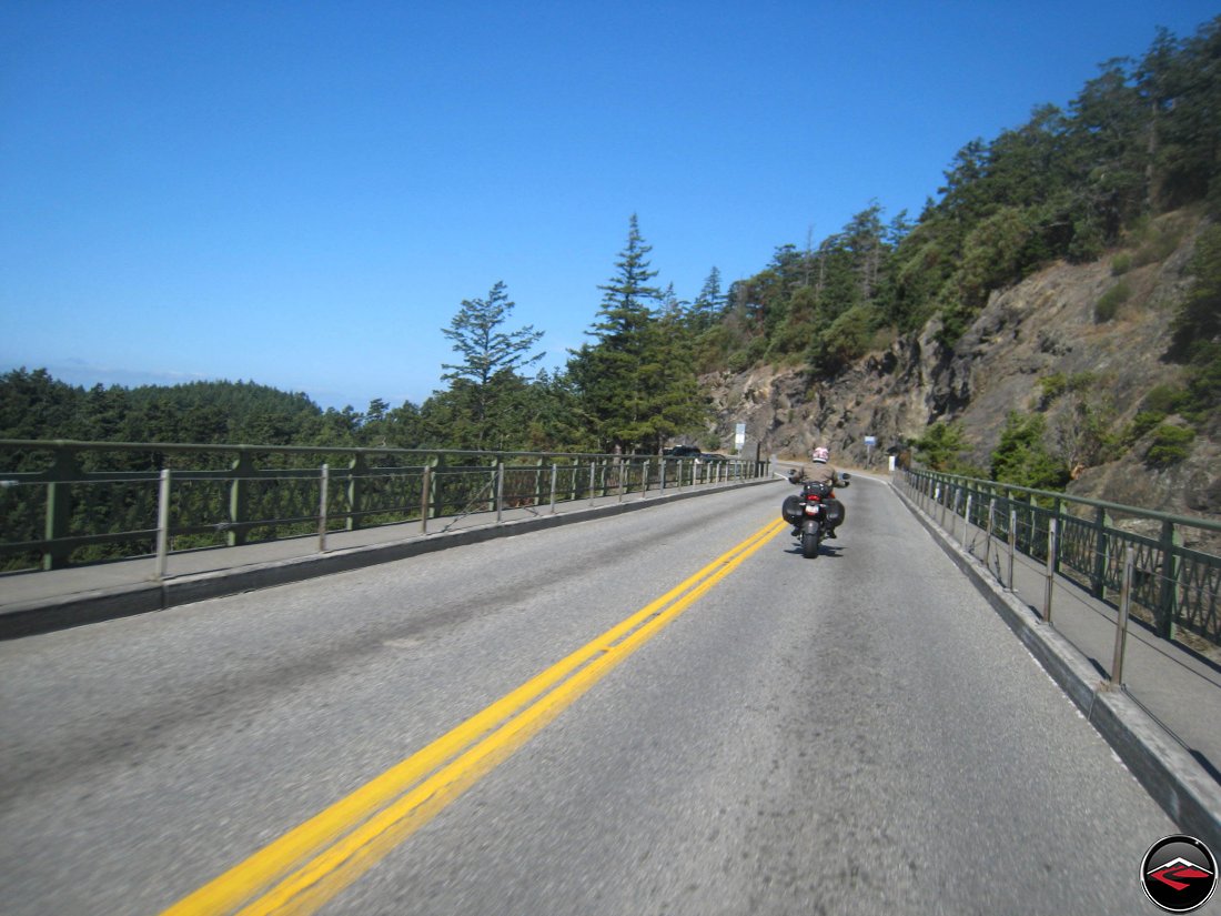
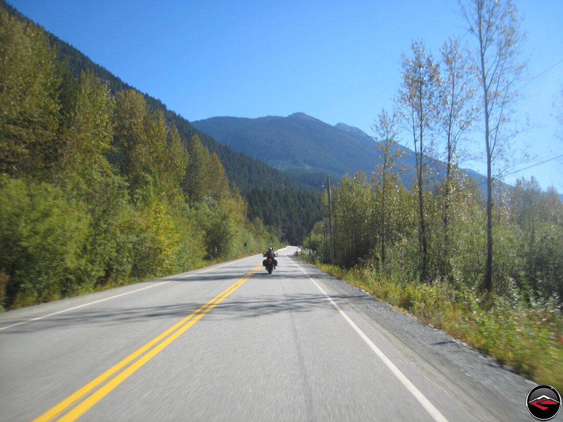
At Belknap Springs we headed north towards Highway 20 so we could prolong the time in the tree’s before heading into Corvallis. Past Corvallis we dodged south-westerly onto one of our all-time favorite roads. Highway 34.
The first time we did this road during the Great CanyonChasers Fire of 2005, it was a dusk and because we had reservations, we had to race through this road in waning, flat light and through dense swarms of faceshield obscuring bugs. I was so upset at having missed such a great road to bad planning and bad conditions, that we’ve made it a point to take this route whenever we are in the area.
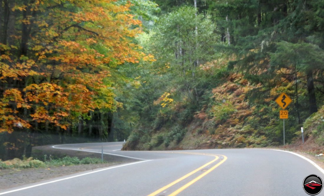
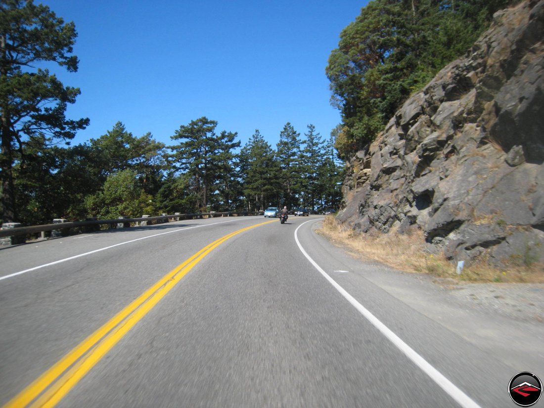
Today was not like that. The road was immaculate and with the fall colors just starting to crop up on some of the trees making the experience just magical. Constantly sweeping banked corners take you all the way to the coast. The road was so perfect I’d consider moving in.
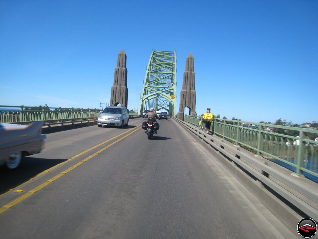
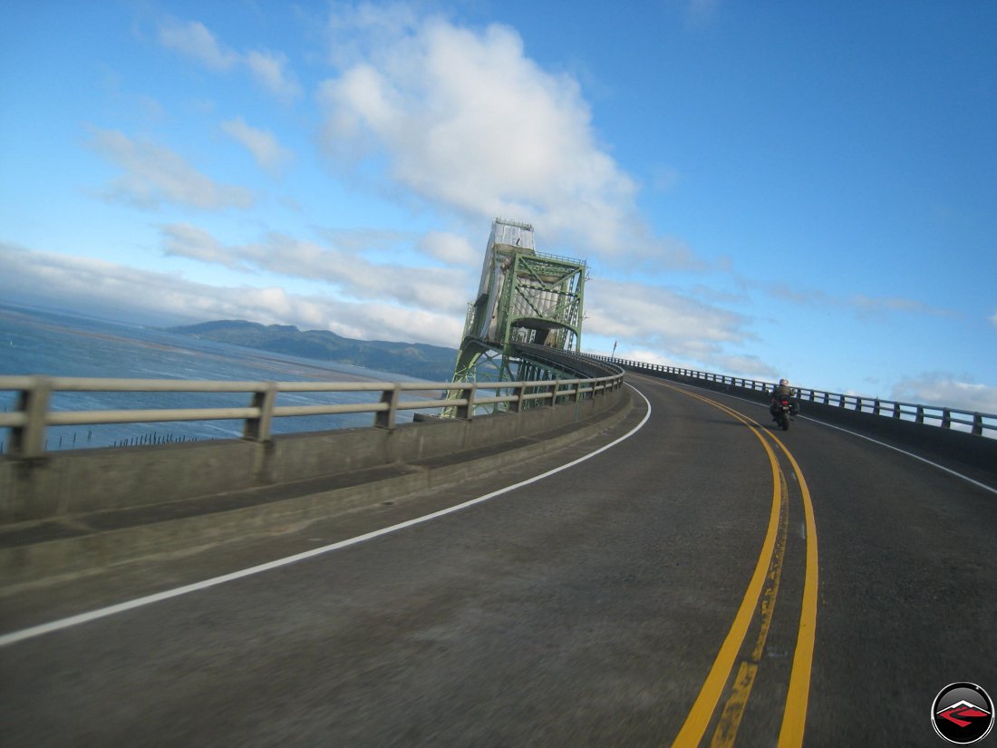
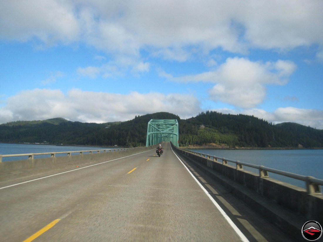
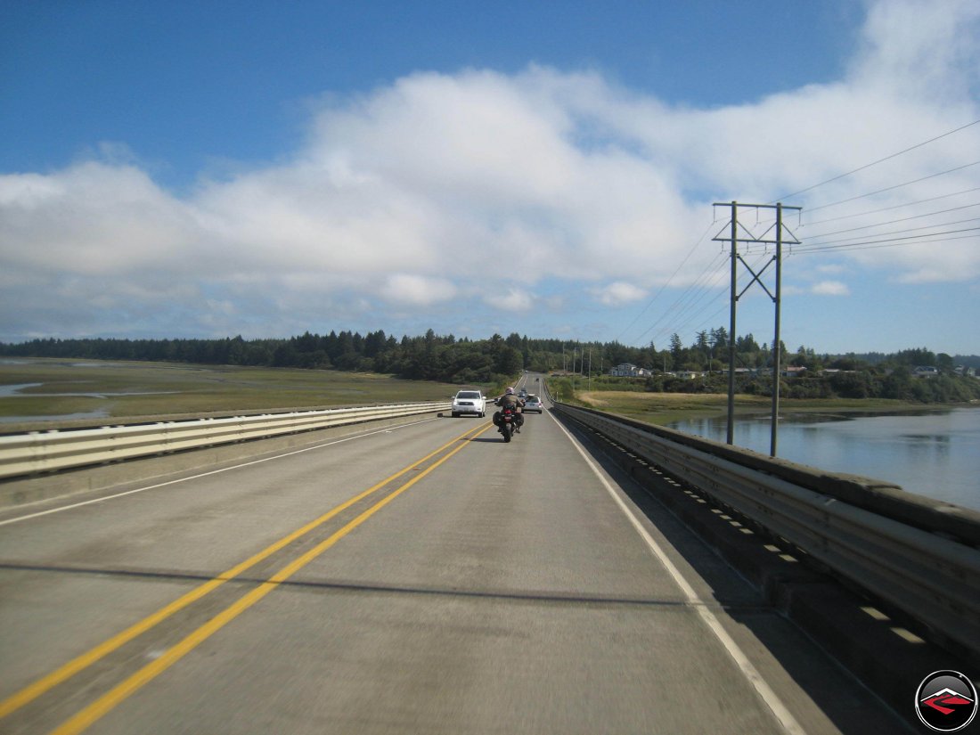
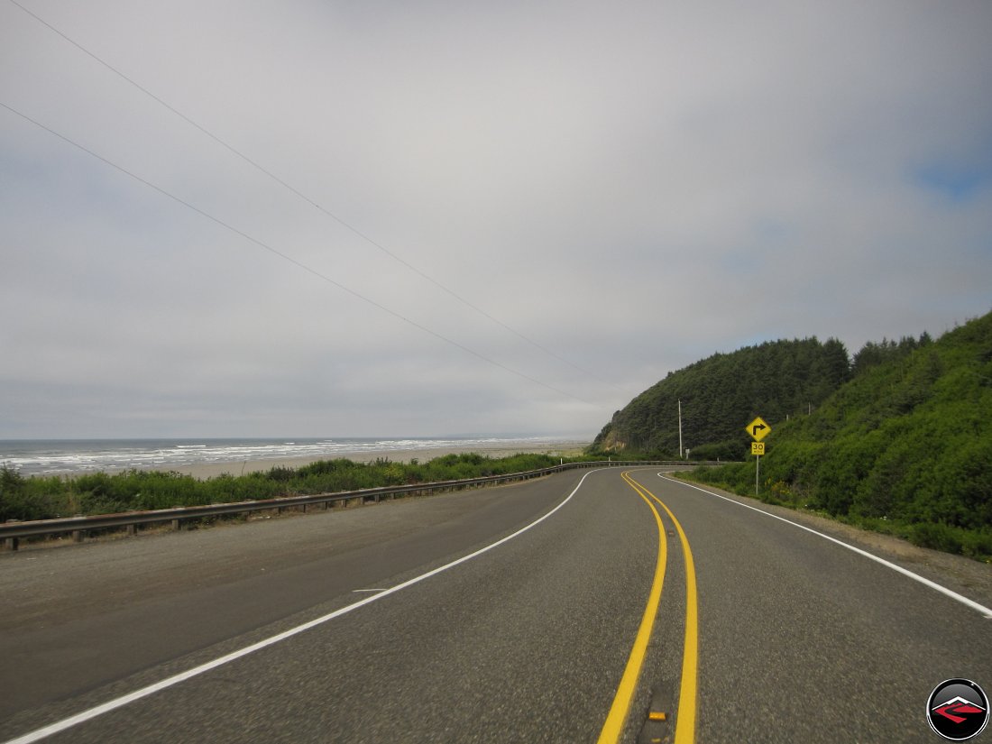
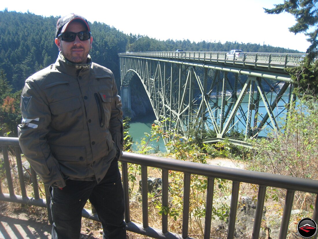
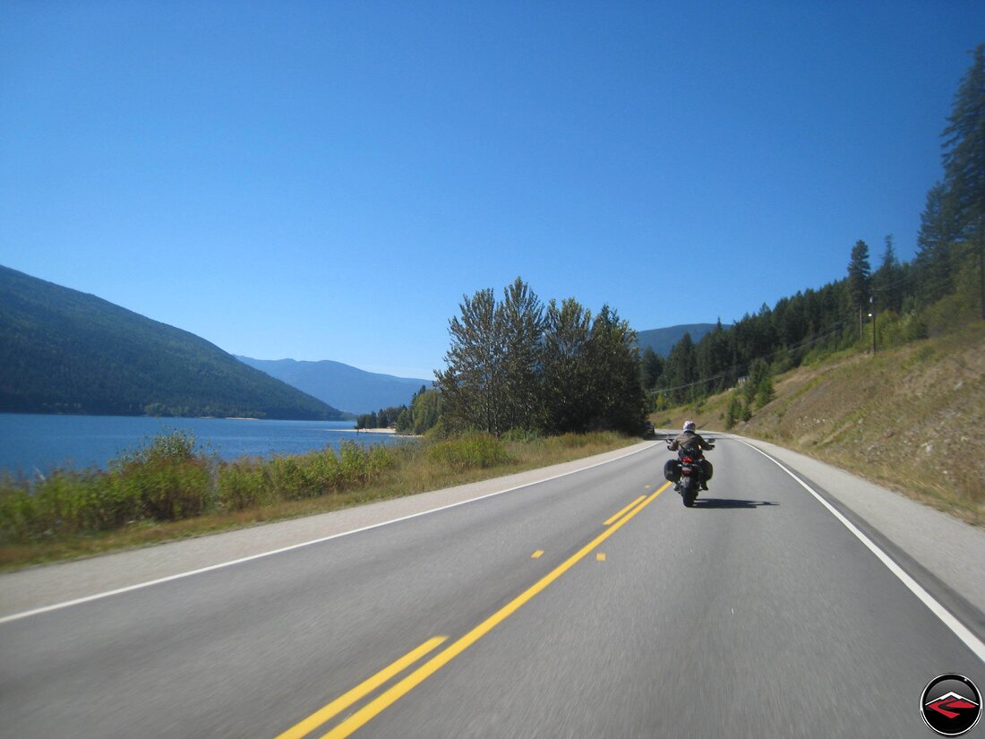
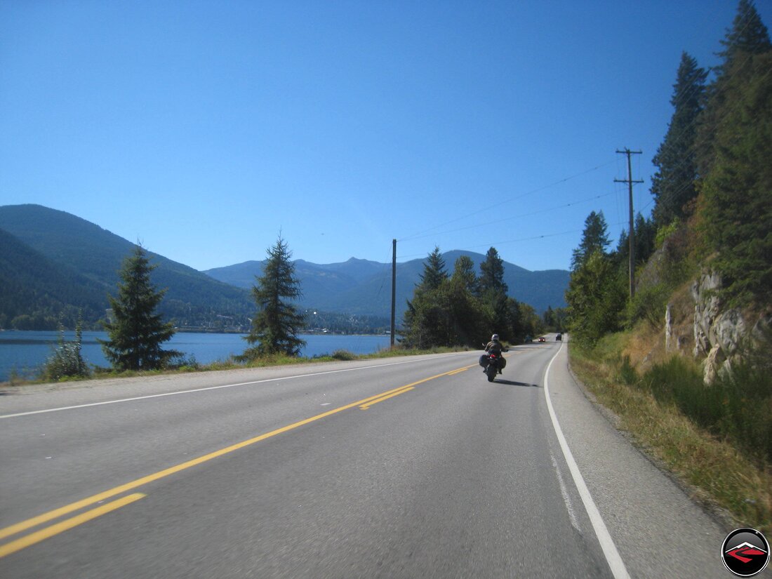
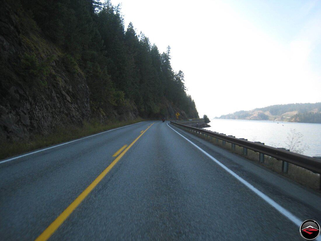
Once we made it to the coast, we started making our way north along the 101. Unlike California, Oregon 101 is a little less epic and little more populated. It’s still the coast, however, so we settled in and drank in the Pacific Ocean views, starting with these epic old bridges.

Oregon Highway 101 is mostly flat-ish and mostly straight-ish and with all the vegetation the best way to see the ocean was to take a break and stand up on the pegs for a little while. Car drivers coming the other way were giving me some strange looks as they went past.
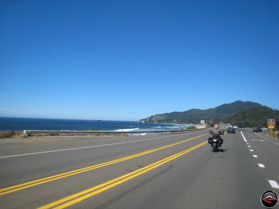
But the weather was nothing short of spectacular and perfect; not a cloud in the sky and barely a hint of ocean haze as we worked our way north, with the hope of staying in Astoria for the night.
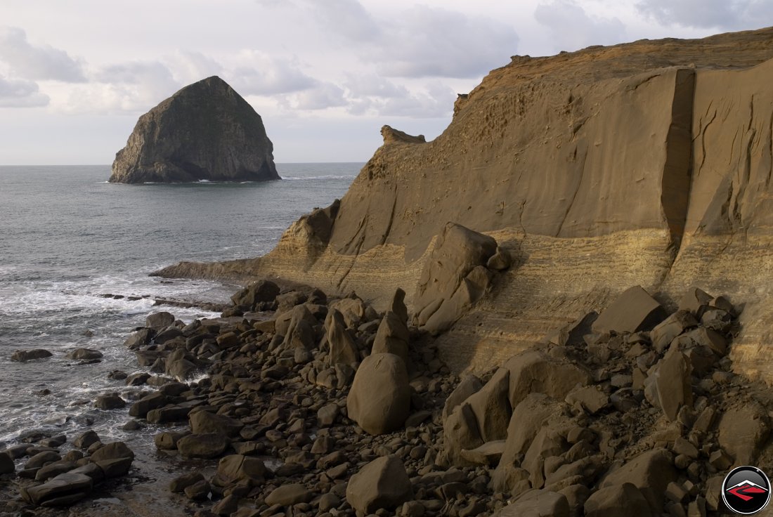
We stopped in Tilamook (you know, where the cheese comes from) and had an overpriced seafood dinner, then one more stop near Cannon Beach to look at some awesome rocks as the sun was dripping down below the horizon. However, our dawdling resulted in our inability to find any kind of lodging.
Labor Day Weekend didn’t seem to be having any affect on our travels until this moment in time, at which point were were forced to rent a Hotel Rooms-By-The-Week for just one night; market value of course. (It wasn’t a very nice hotel as I’m sure you can imagine).
The Olympic Peninsula
And the Stunning Beauty of Neah Bay
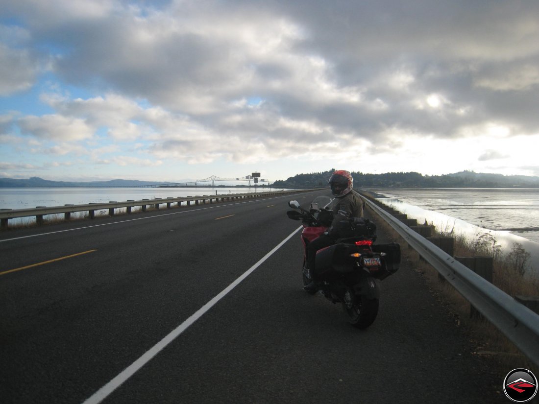
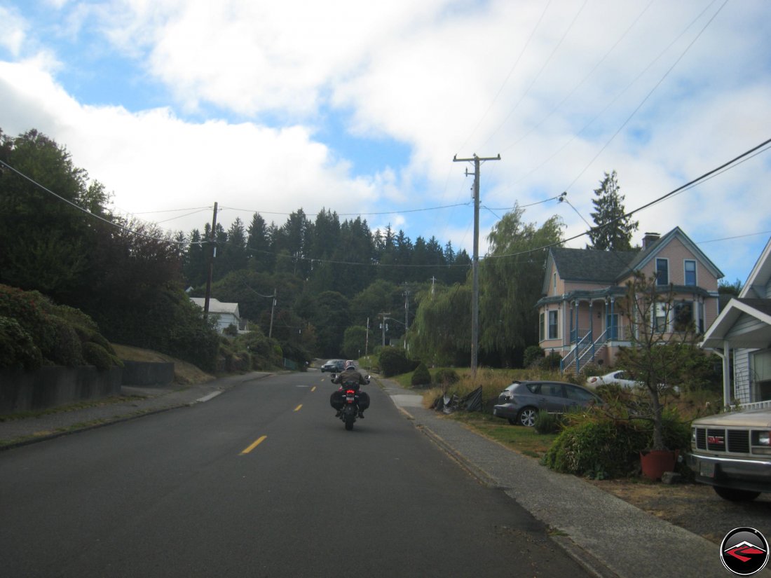
Eager to depart from our last-minute, desperate hotel room, we were up and at ’em bright and early, which gave us a very pleasant, super early, super quiet look at one of our all-time favorite coastal towns, Astoria, Oregon.
We were totally astonished by just how quiet Astoria was. Very light traffic and soft light greeted us as we crossed the final expanse into town.
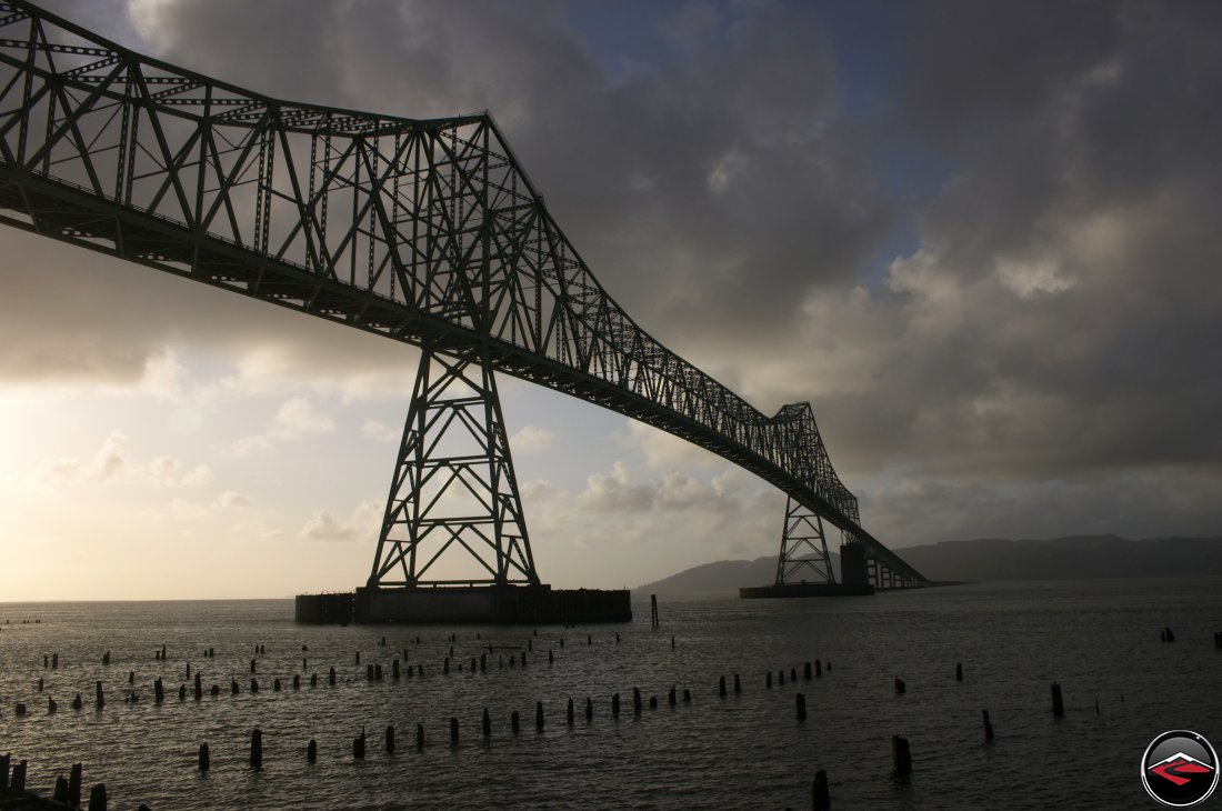
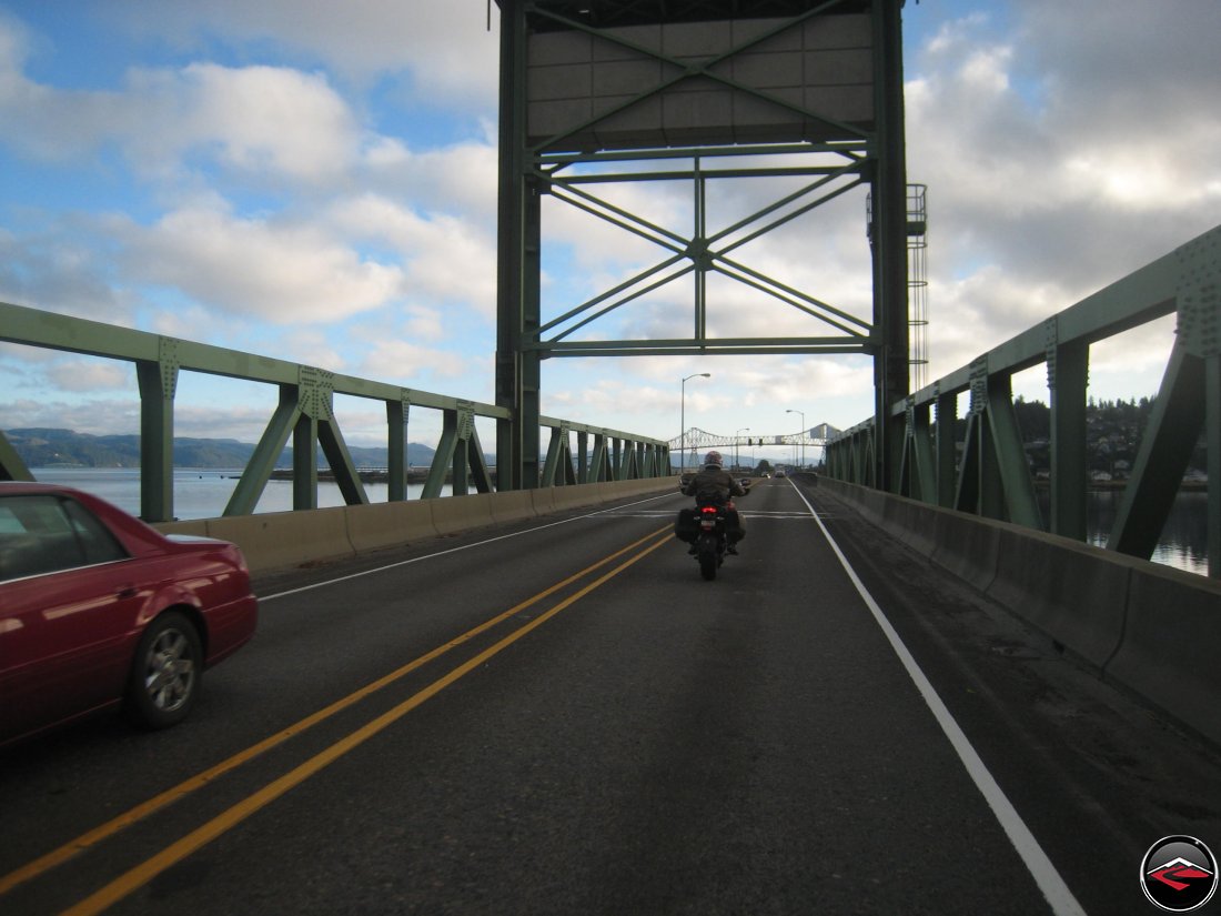
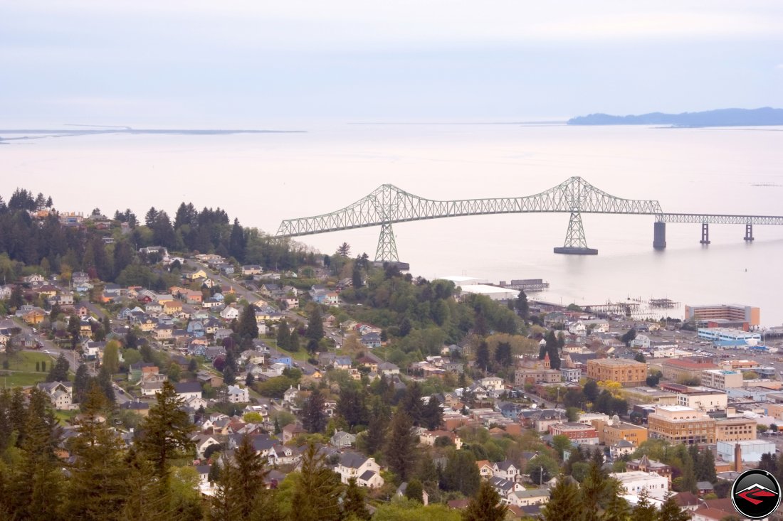
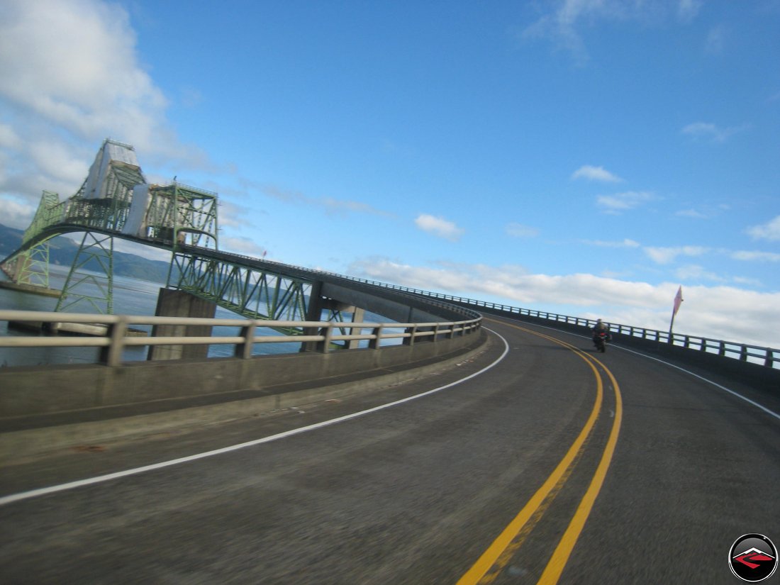
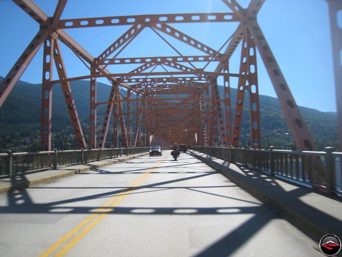
One of the more notable features of Astoria is the four-mile-long Astoria-Megler Bridge that spans the Columbia River. It is the longest continuous truss bridge in North America.
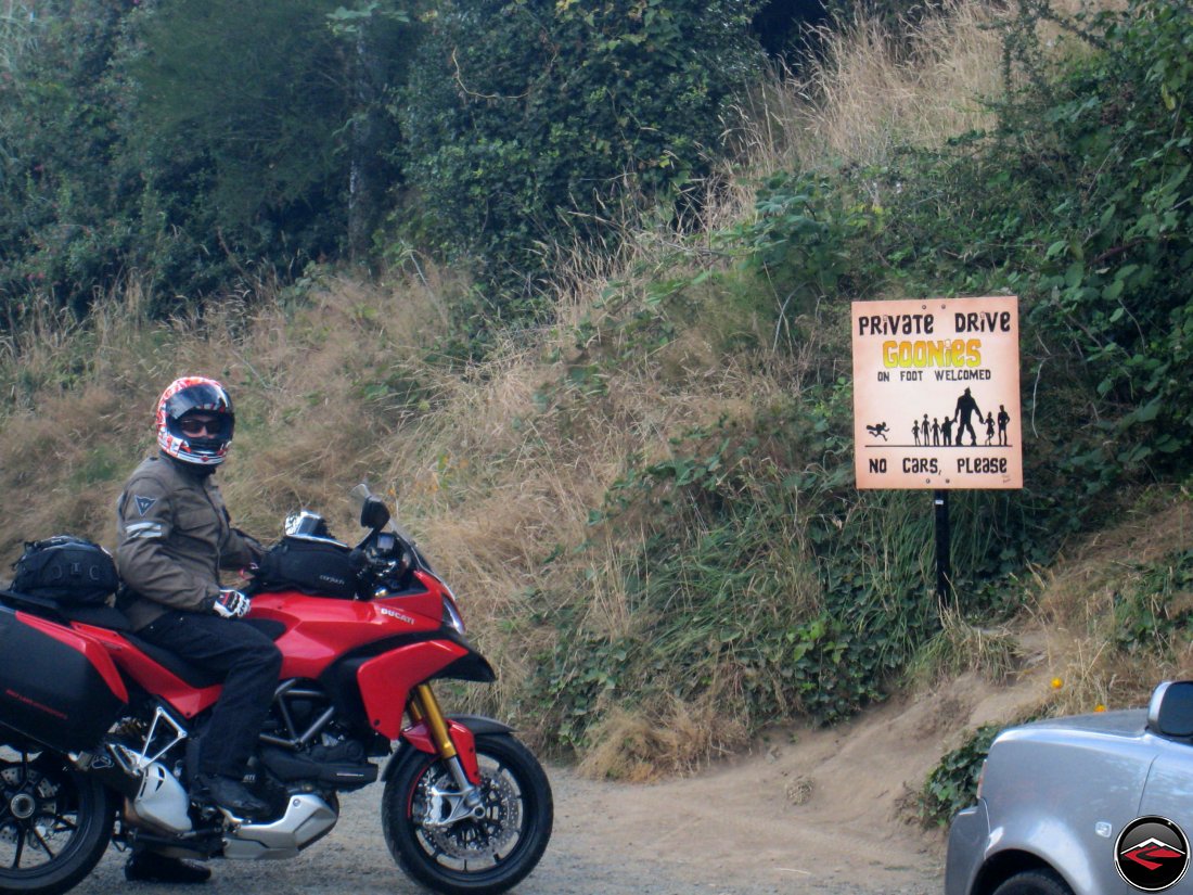
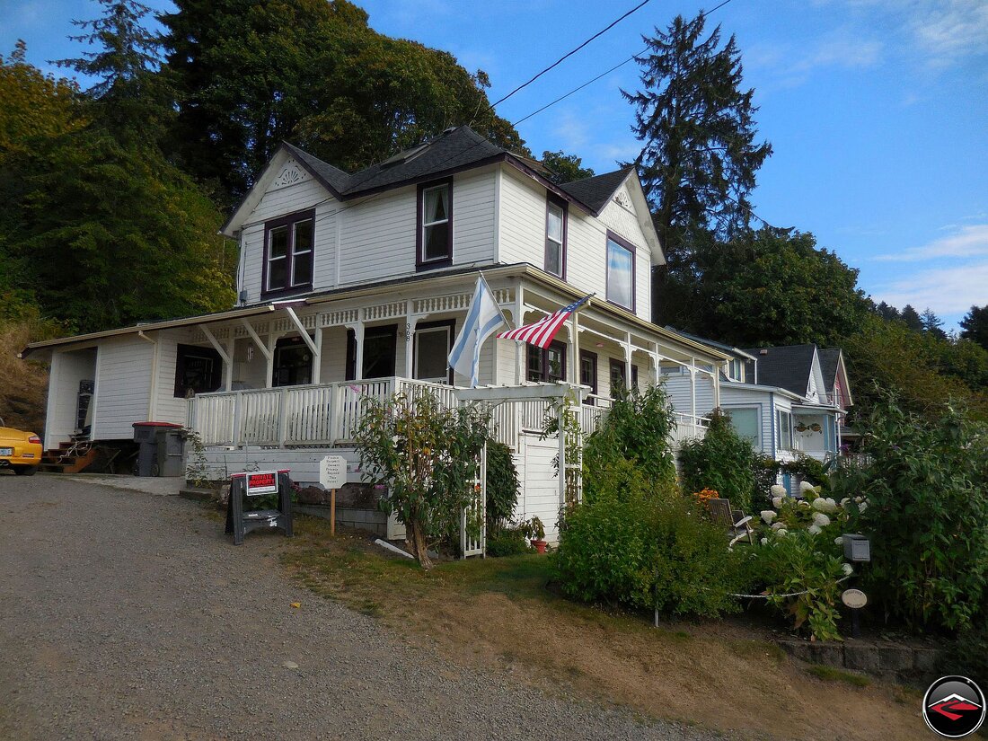
For the first few years, we’d come through Astoria, locals refused to reveal the location of the Goonies house, but it appears that new owners are a little more understanding of their homes pop-culture significance. It’s relatively easy to find and a friendly sign points the way and asks that visitors be respectful. The home is located in a very quiet little neighborhood at the end of a dead-end, gravel street that simply cannot handle much vehicle traffic.
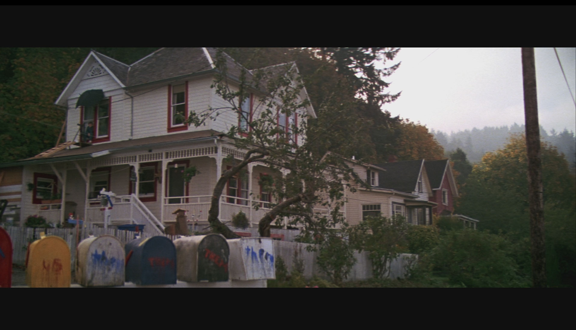
No Astoria, Oregon trip is complete without a screening of the classic film before leaving or upon your return home. I shamelessly grabbed this screen shot from the opening sequence of the film. The house is remarkably the same. Mikey is no longer in the upstairs window, the tree is gone, the porch looks to be modified a bit (the stairs are different as is the lower railing) and it’s missing the spindles on the north side, I kinda miss the bright red trim. But even the third house down the way is the same color red as in the film.
Obviously, I didn’t have Goonies queued up on my phone, but it it sure looks and feels oddly familiar, particularly if the film was a staple of your childhood like it was mine. What I do wonder, is how many people do the Chunk-Shuffle in front of this house on a day-to-day basis. They should set up a web-cam or something.
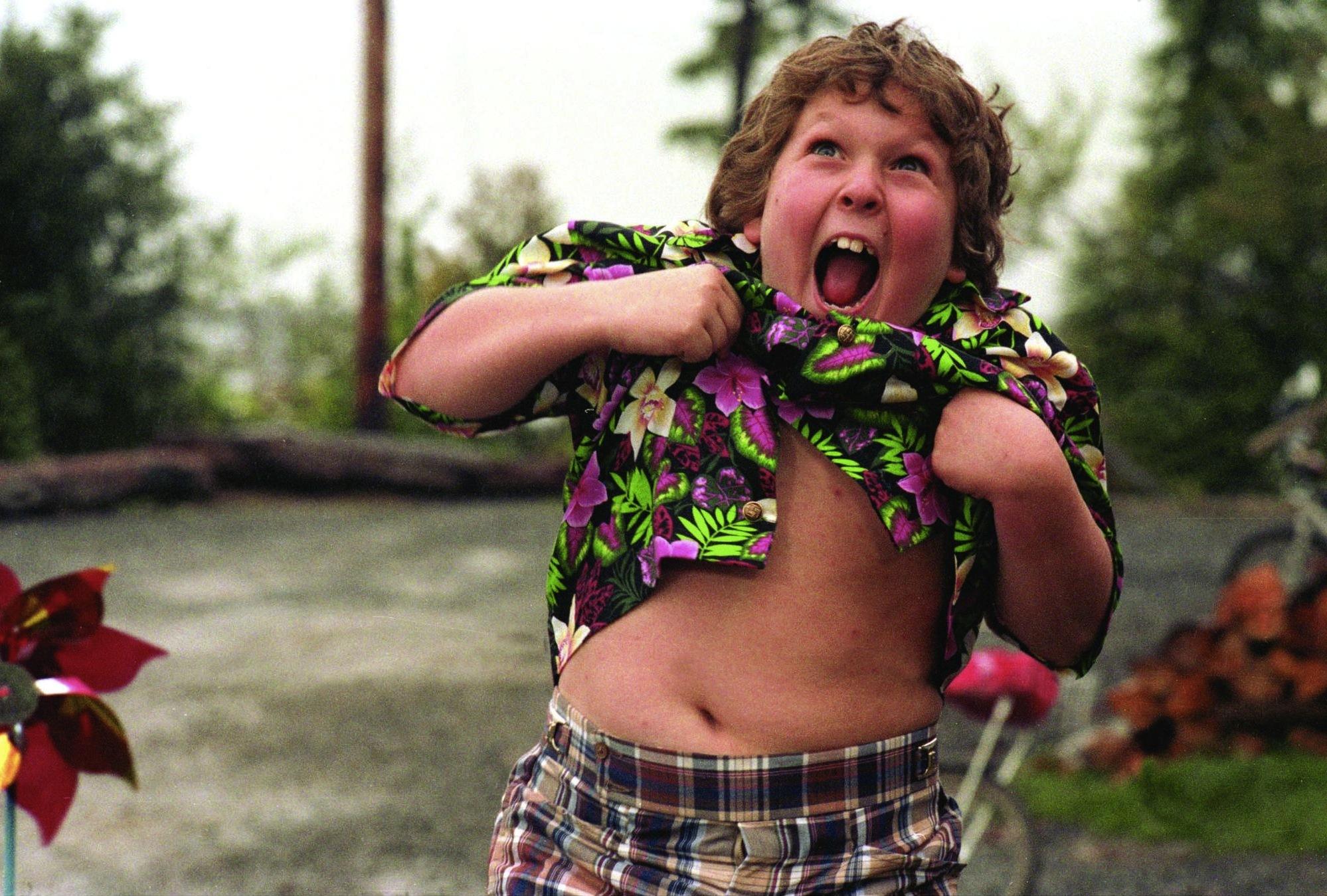
Sorry, I just couldn’t resist. Now, go rent the movie. 🙂
Inspired by our visit to the Goonies house, we took it upon ourselves to do a self guided tour through town, just to get a taste of the local charm.
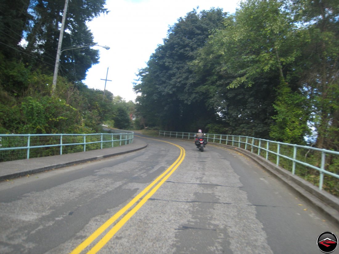
Being built mostly up on a hill made all the surface streets pretty fun, particularly for surface streets.
Astoria got it’s humble start as we know it today in the winter of 1805 when the Lewis and Clark Expedition wintered in a small log structure in the vicinity. A lot has changed since then and today Astoria relies on tourism, art and light manufacturing as the primary economic activities.

The massive tankers and container ships are a regular sight as they enter into the Columbia River on their way to Portland.
After breakfast at the world-famous Bridgewater Bistro. It may not look like much from the outside, but the food is fantastic.
Pedestrians are not allowed on the bridge for but one day a year, when they do a special “Great Columbia Crossing” where participants are taken by shuttle to the Washington side and then run or walk to the Astoria side.
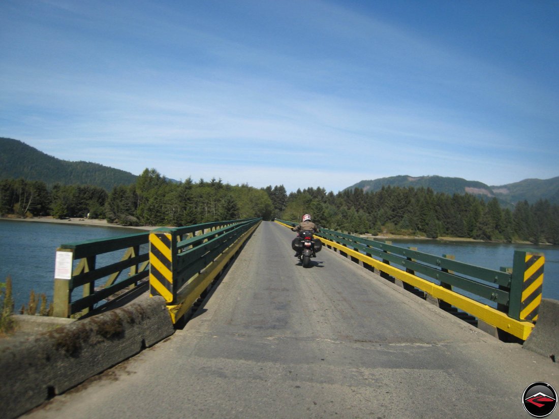
The final small crossing before arriving in Washington.
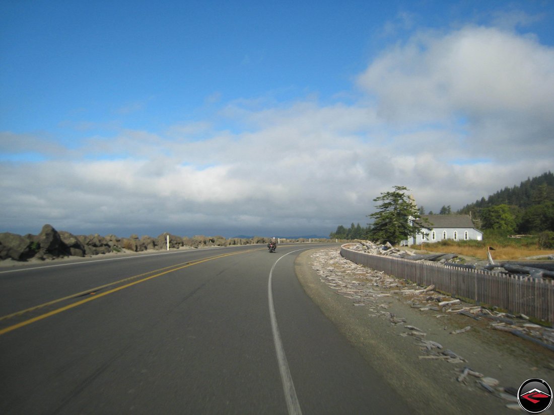
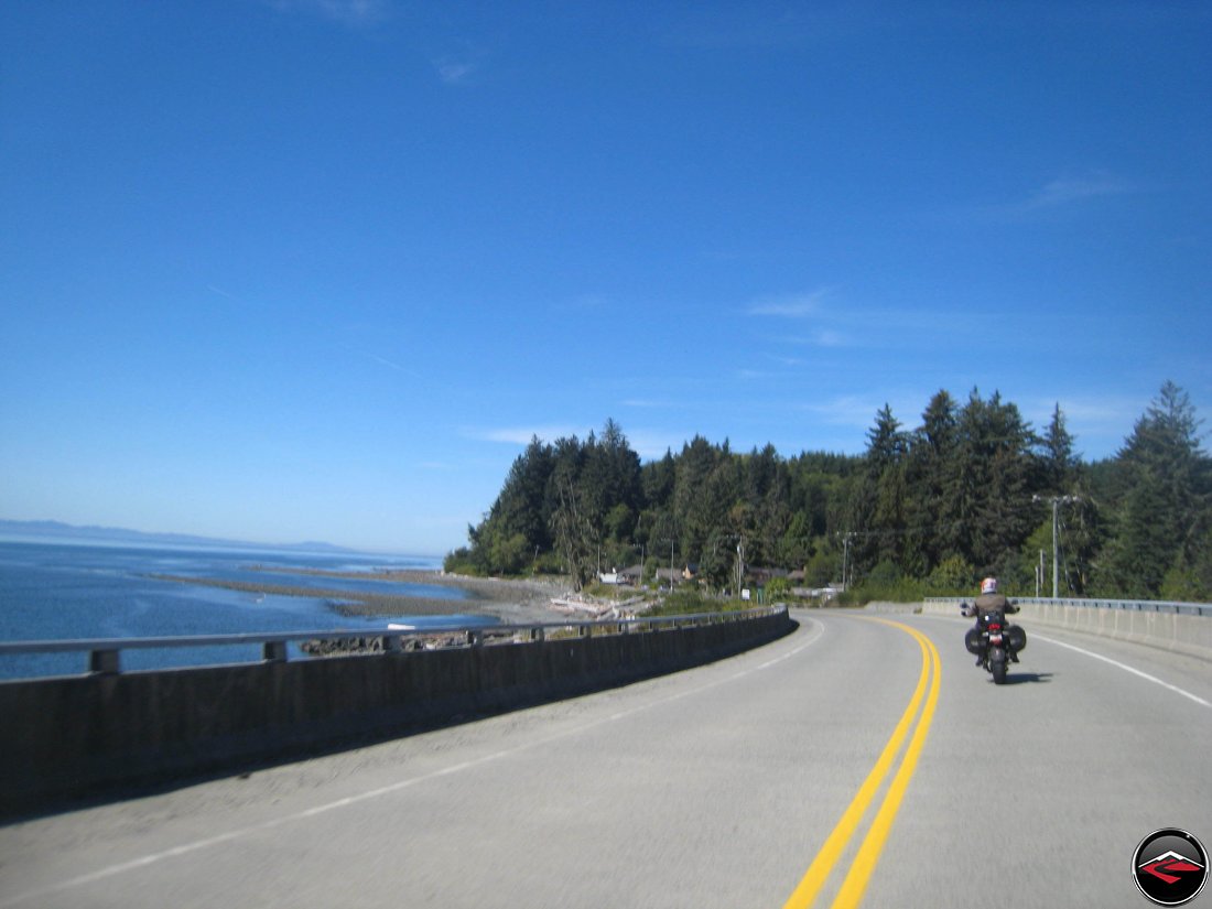
We followed the coastline as we made our way north. Kris always tries to take pictures of cute, little churches.
The terrain is pretty rugged, so alterations must be made in order to keep the road moving.
It was just another fantastic day to be on the coast. Perfect floaty clouds and blue skies as opposed to gray skies and lots of rain.
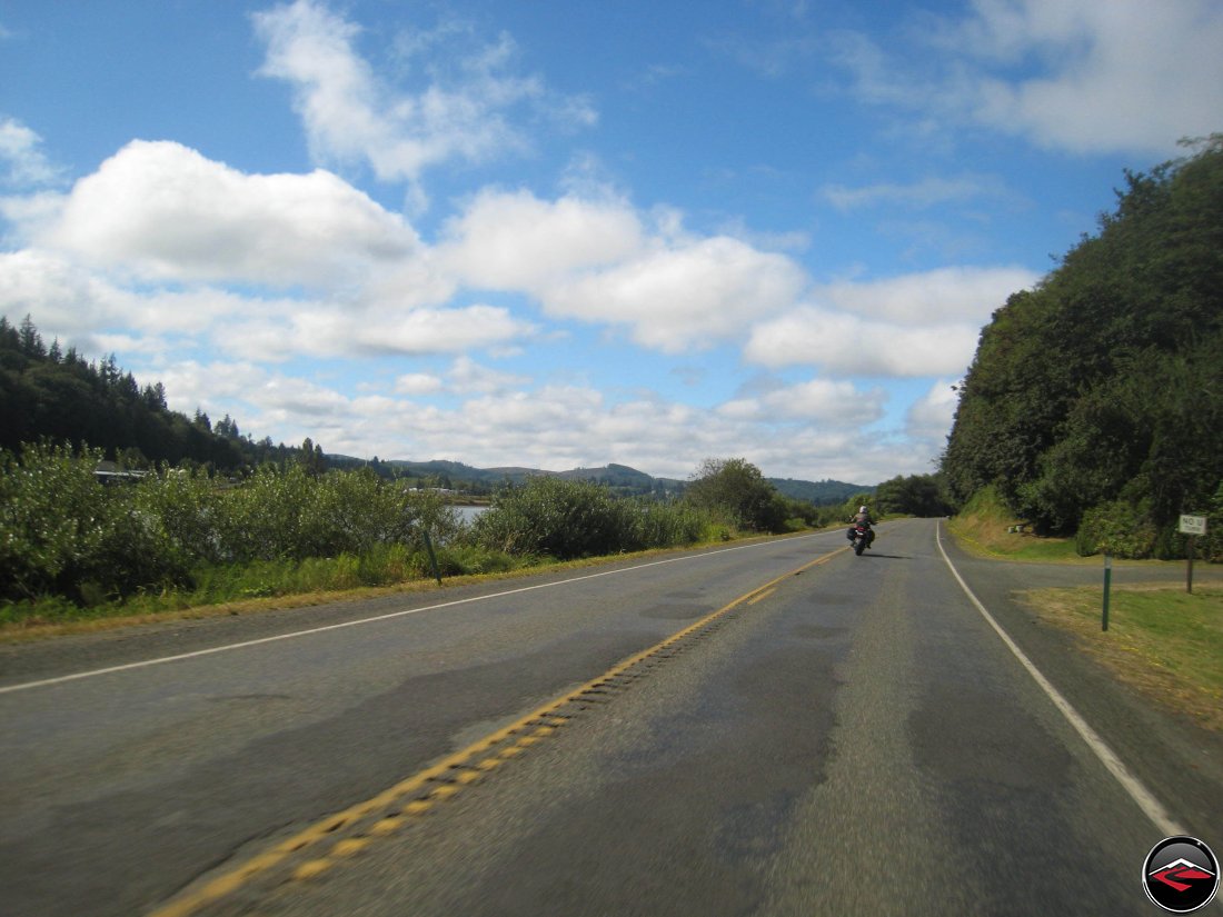
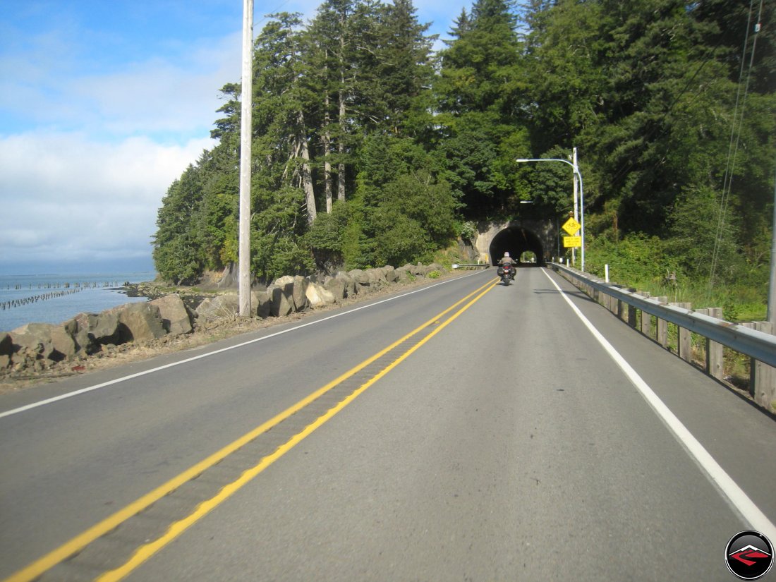
The 101 isn’t nearly as epic or technical as it is in many areas of Northern California or even Oregon, but we weren’t complaining. I mean, just look at those clouds.

As we made our way north, the blue skies faded away and I spotted a small road the led directly out to the beach.
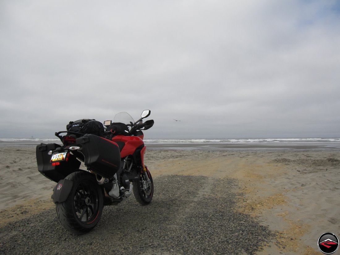
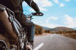
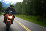
Time for a few glamour shots of motorcycles on the beach, looking out at the ocean.
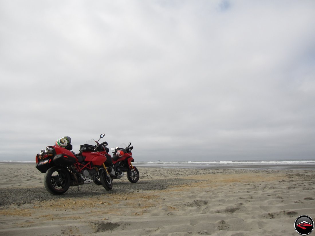
The evolution of the Multistrada.
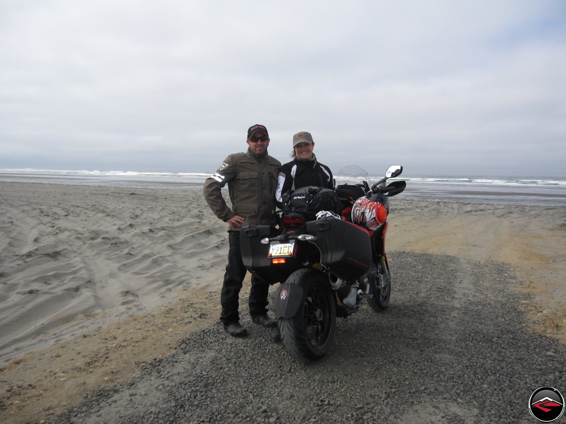
We set the camera on one of the bikes and grabbed a shot of the two of us, but Kris was saddened that we wouldn’t be able to see her bike.
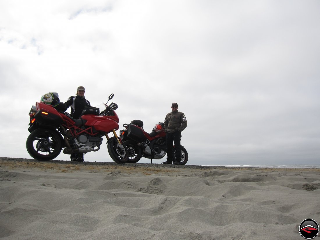
So I was super careful and set the camera and tripod down in the sand and gave it another try, with good results I think.
Unfortunately, as I was turning Kris bike around for her, I slipped and dropped it on the rocks. No photos exist to verify my shame but it was clear that Kris’ Multi was not happy with me and precoded to give us problems for the rest of the trip.
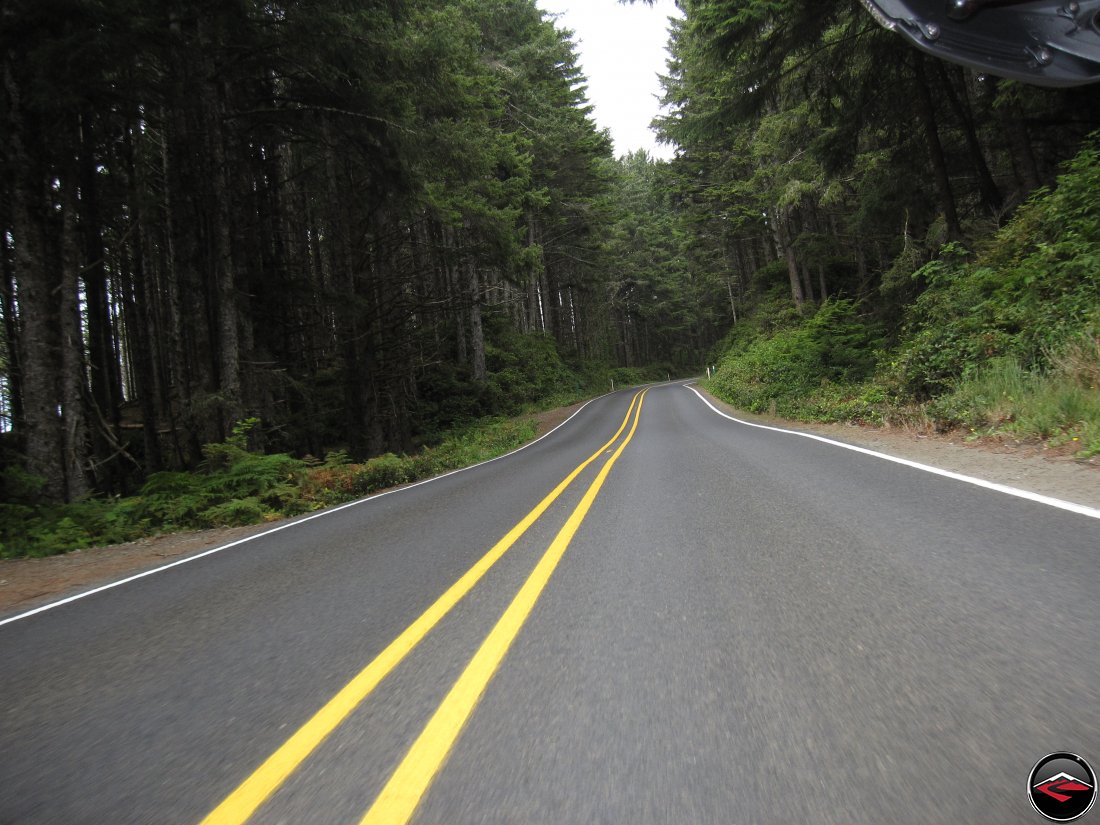
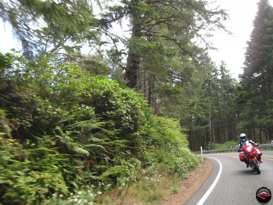
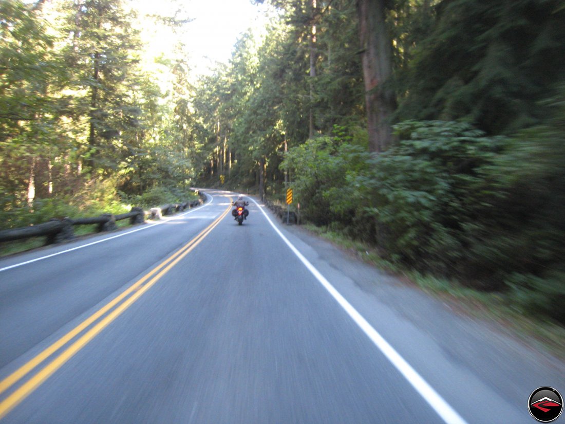
Soon after our little stop, we found one of the best bits of road for the entire day. A short stretch of WA-109 between Copalis and Highland Heights.
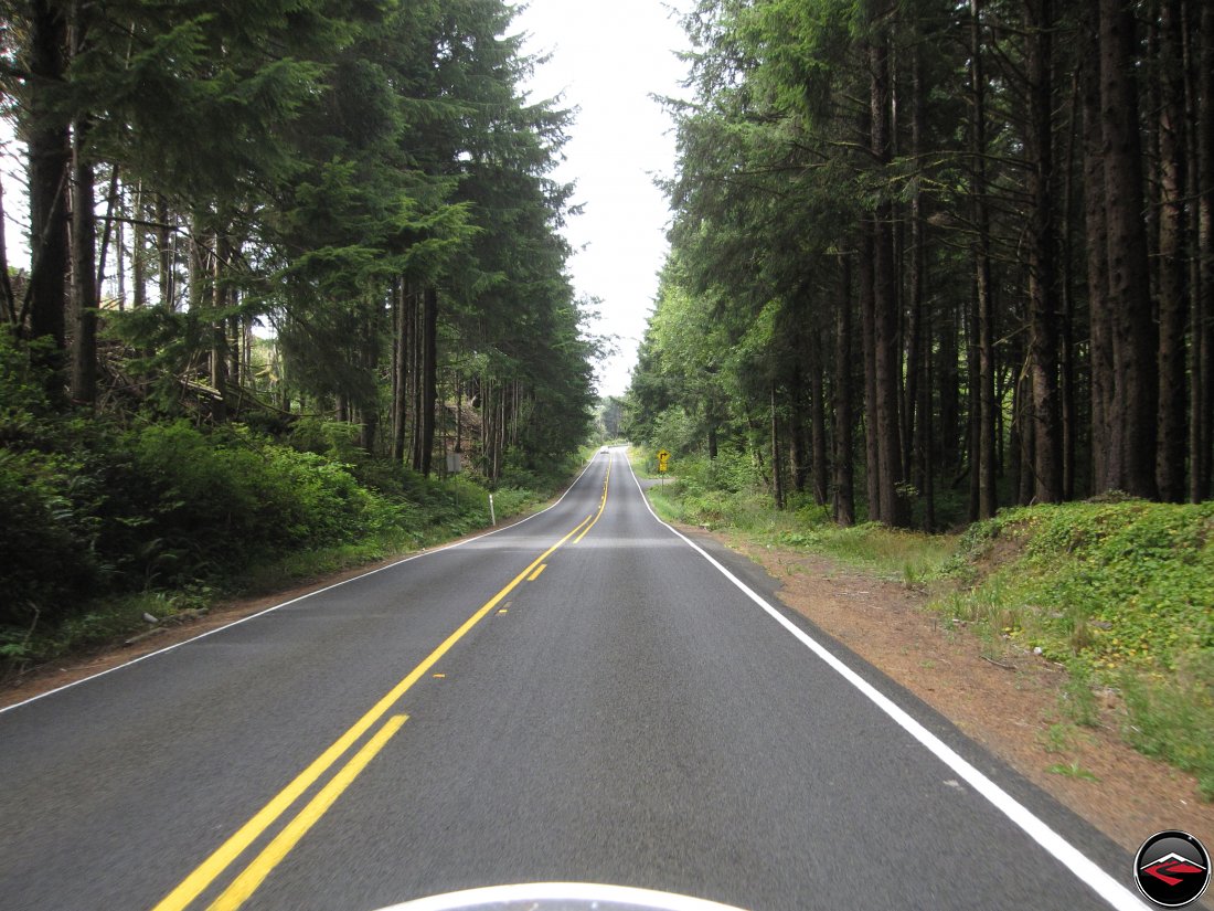
But really, with scenes like this, even straight bits of road seem perfect.
The twisty bits are always better, particularly when they offer views like this.
I tried to grab a few snaps of Kris getting some corners in, but with mixed results; she’s not framed quite right, but oh, well.
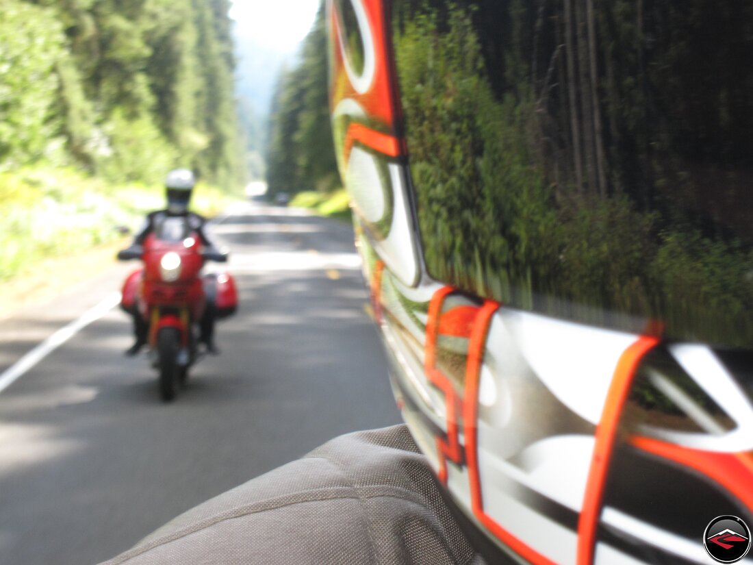
The camera focused on my shoulder instead of her, but for whatever reason I found this image appealing.
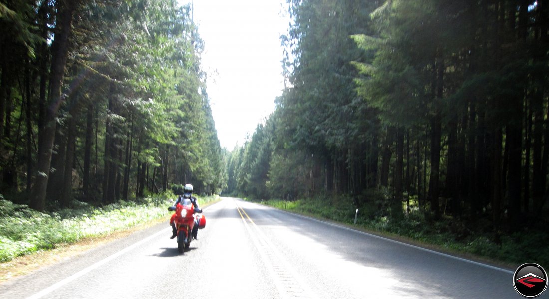
It was interesting how the sun would punch through the marine layer of clouds and mist and suddenly you’d be basked in bright sunlight. And just as soon as it came out, it would be gone again.
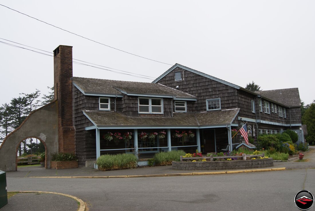
As we entered into the Olympic National Park and the Kalalock Lodge, we started getting ready for a stop and an eat.
Kalaloch is the Americanization of a Quinault term meaning “a good place to land a Canoe” or “Sheltered Landing” and is one of the few safe landing sites for canoes in the area.

Kalaloch Lodge is situated nicely for stopping for a few moments.
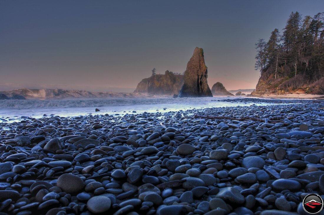
Aside from the lodge and the 40 cabins and 170 campsites available for lodging, you can enjoy 73 miles of beaches. The area is known for epic storm watching viewpoints as it receives about eight-and-a-half feet of rain fall per year.
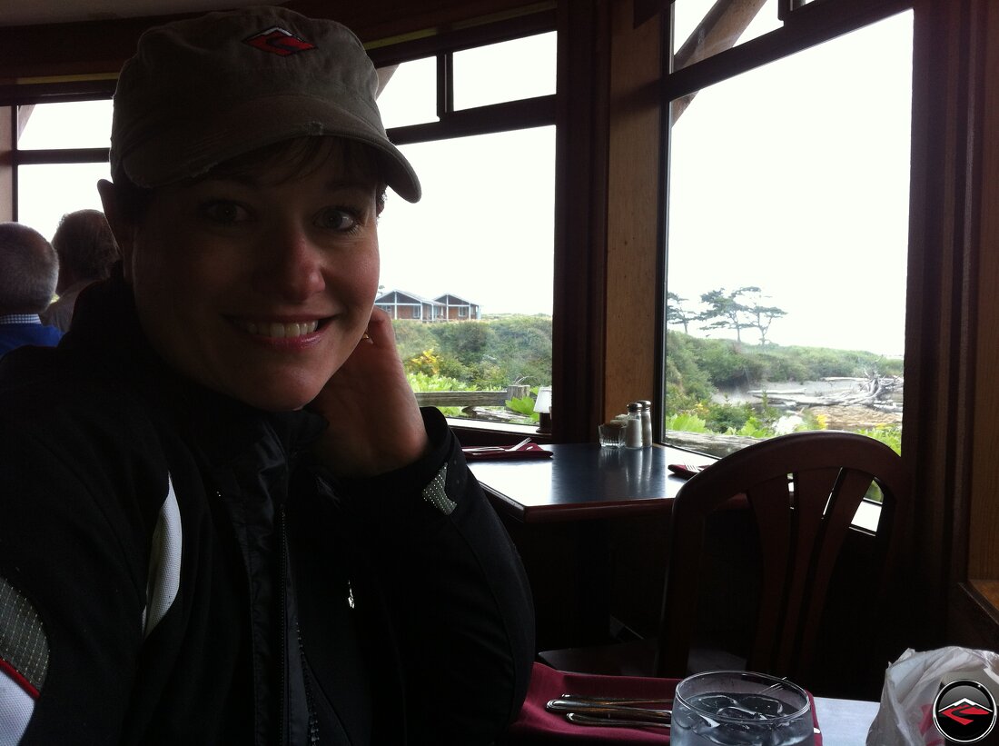
Being on the move didn’t afford us to take advantage of all the area has to offer, but their Clam Chowder is fantastic.
We left the park behind us and started making our way towards one of our all-time favorite roads, WA-112 and WA-113. We like to out-and-back it to the point of the Olympic Peninsula.
Neah Bay is pretty much the western-most point of the Continental United States and is home to the Makah American Indians. Unlike so many Indian Reservations, Neah Bay is as charming and inviting as it is beautiful.
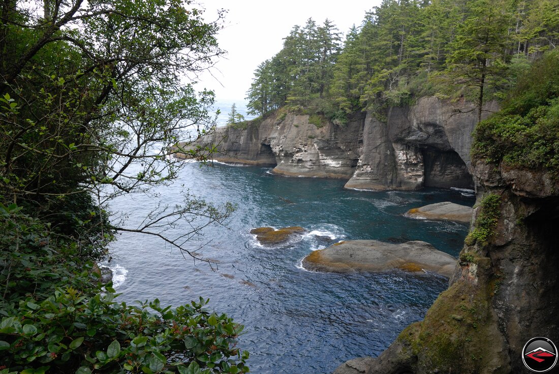
A quick jaunt out to Look Through Rock on the western-western most point is well worth the time and the short walk once you arrive and the very small parking lot.
Unfortunately, we were running out of daylight and needed to start making our way back towards Port Angeles if we wanted to have any hope of catching the Ferry to Sidney tomorrow. Almost equally as unfortunate; Kris had hit one of the fancy art settings on her camera and we lost all color except for red.
But even the modest views from the main road were nothing short of stunning.
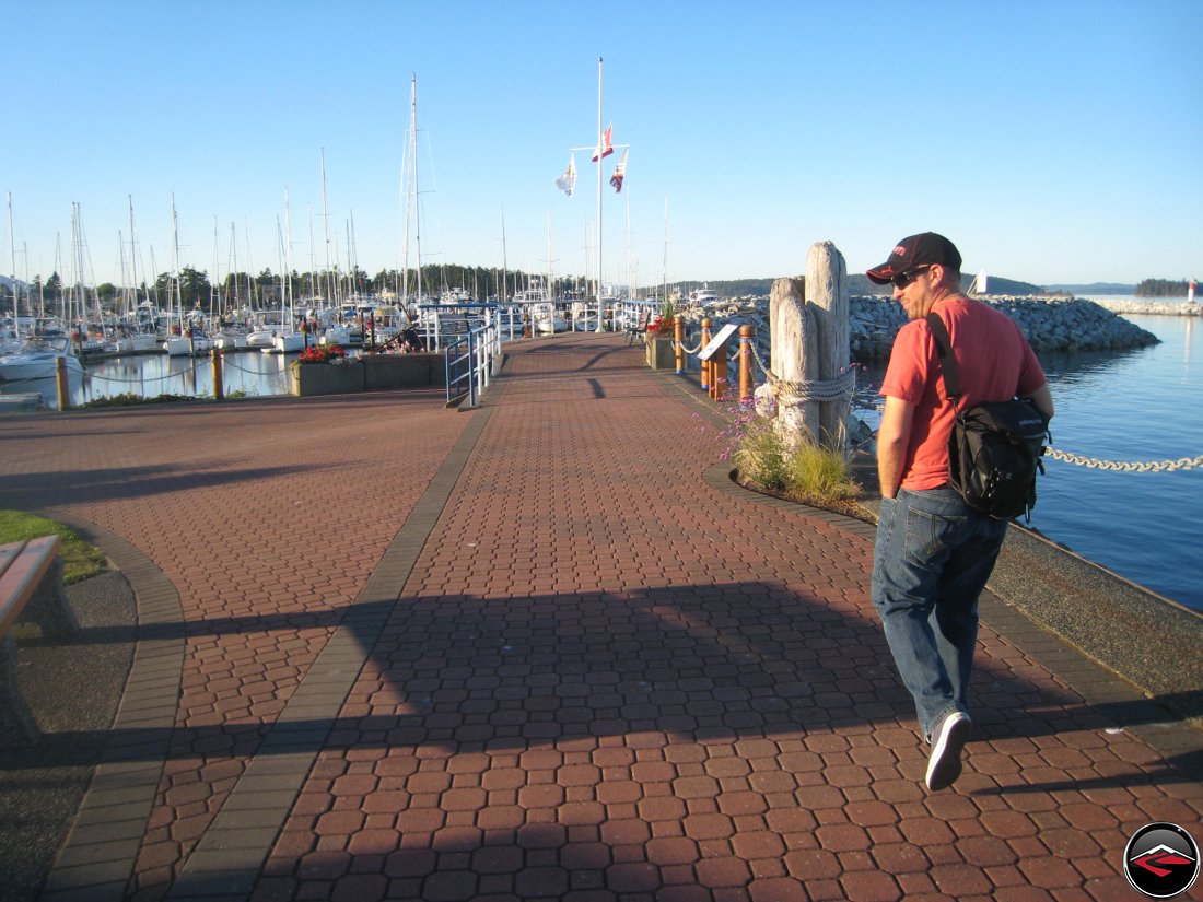
Ocean Voyage to an Island
I Have a Thing for Ferry Boats
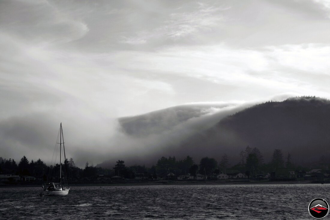
By the time we arrived in Port Angeles the night before, we were properly chilled and exhausted. We collapsed into our hotel room with the heat blazing.
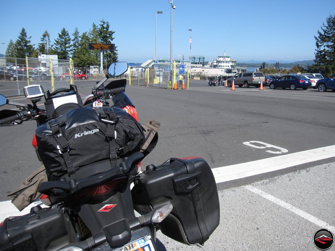
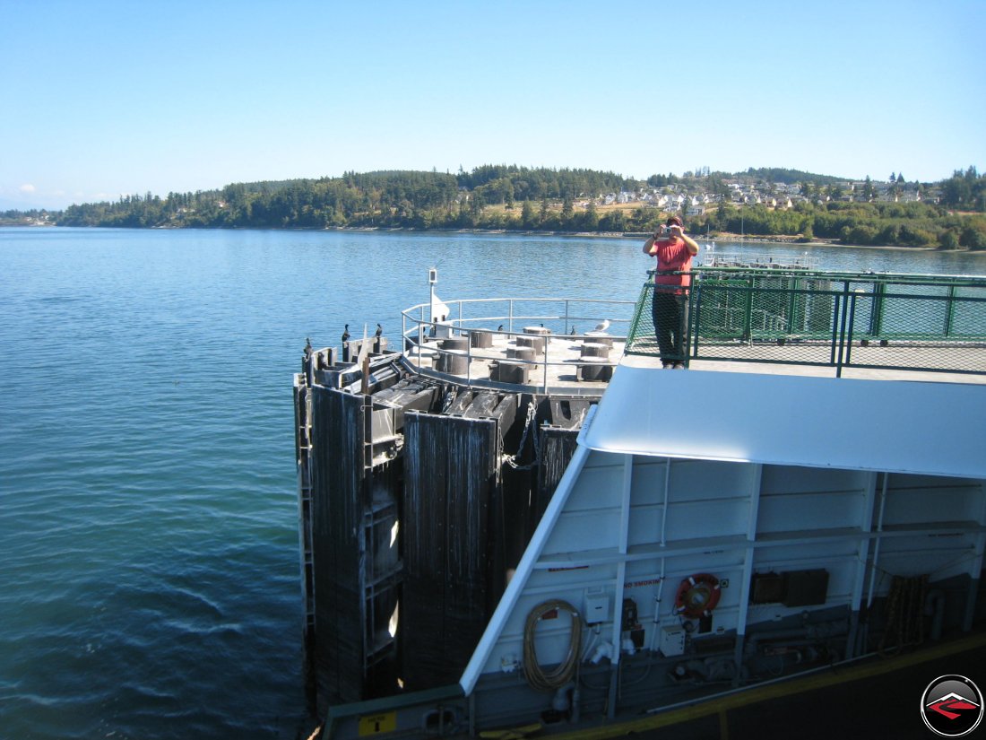
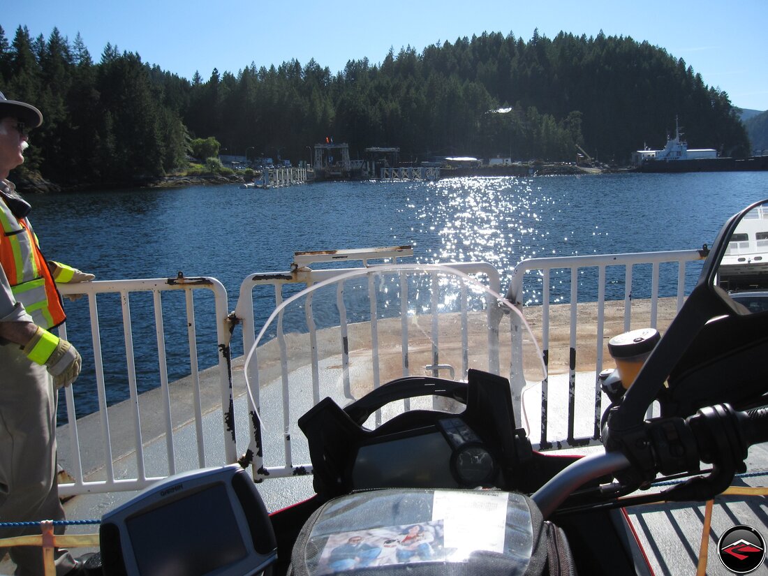
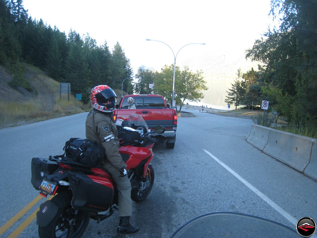
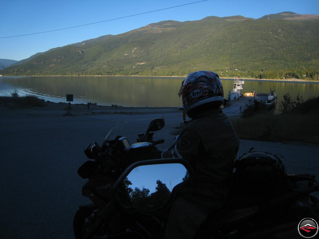
We wanted to be able to make the first ferry from Port Townsend so we got up early and quickly made our way to the port, skipping breakfast and coffee.
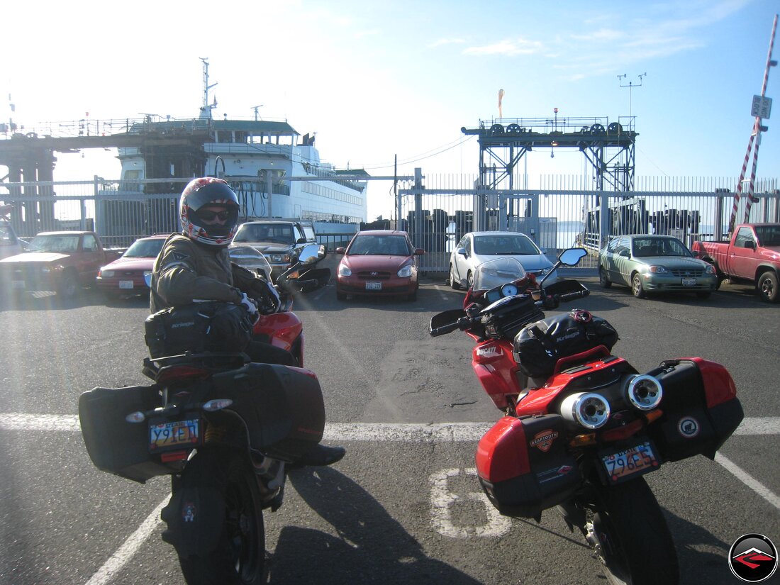
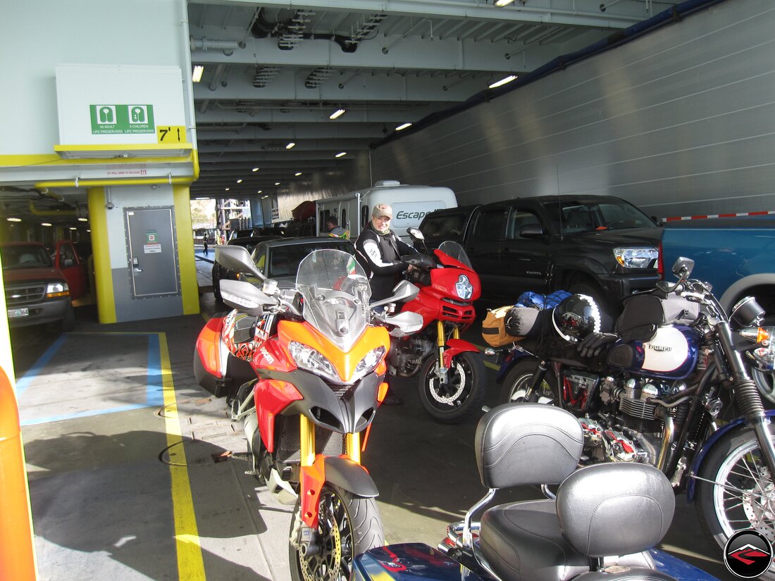
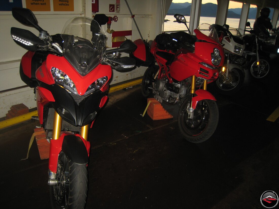
Motorcycles get priority boarding, so we were able to create our own line right up at the very front.
We’ve been coming up here for years, but ferry rides are still just a gas.
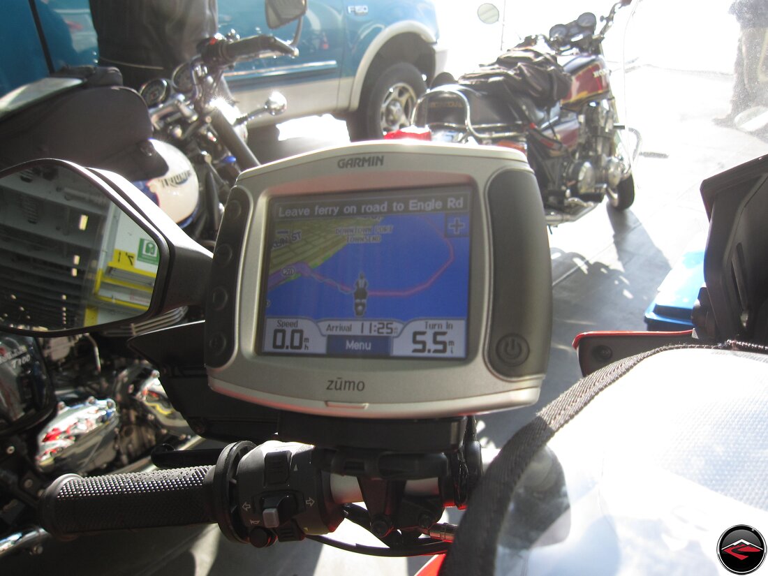
And would you look at that? The GPS says I’m riding my motorcycle over the water!
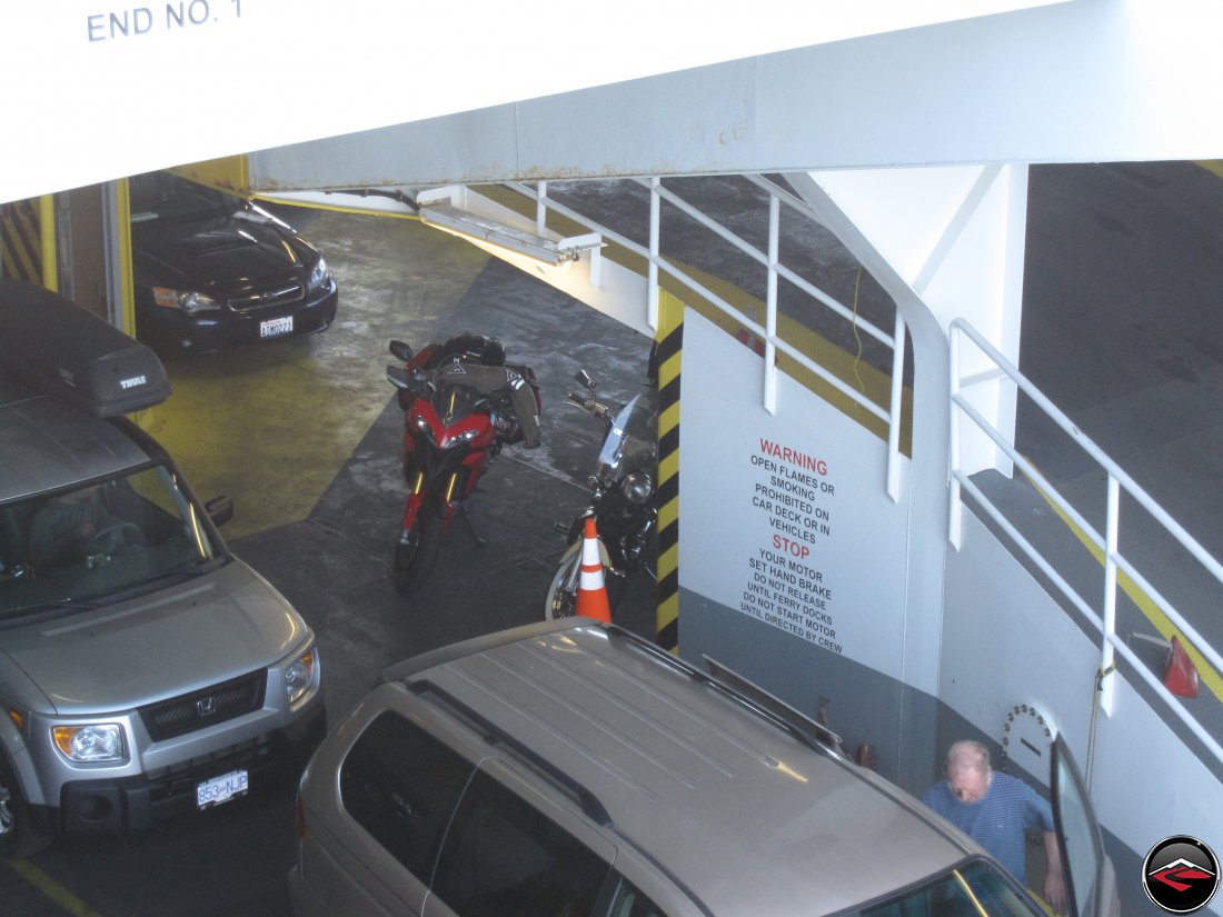
We stayed next to the bikes as we did the short ferry ride over to Fort Casey on Whidbey Island.
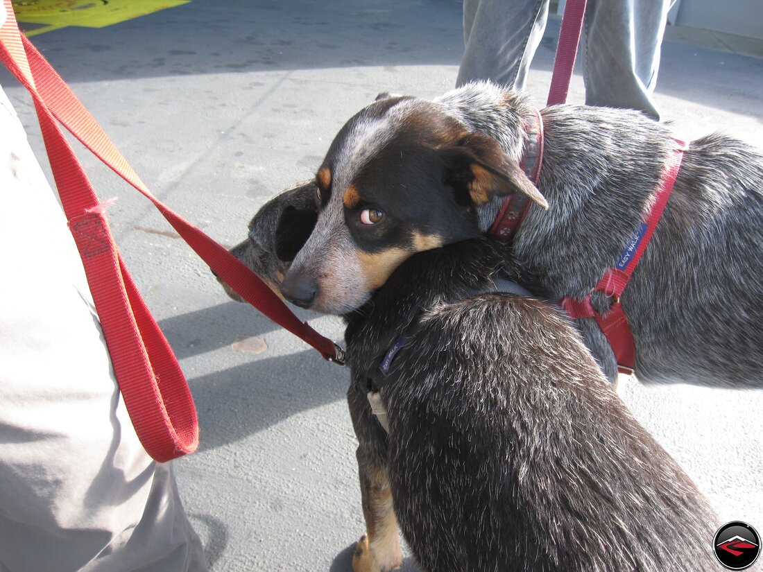
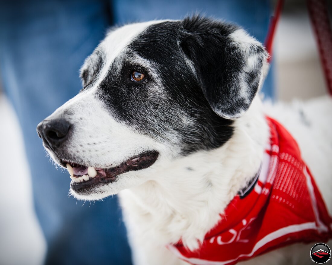
Still missing our old dog, we were drawn to these two. A Brother sister and their owners said the brother is always comforting the little sister like this. Dogs are just awesome.
We landed in Fort Casey and promptly found our way to the nearest breakfast joint. Coffee was calling and the calling was getting louder and louder.
After breakfast we had a few hours to kill before the next ferry that would take us into Canada, so we meandered our way up Whidbey Island and even made a stop at Deception Pass Bridge.
In the spring of 1792, Joseph Whidbey, master of HMS Discovery and Captain Vancouver’s chief navigator disproved the Spaniards (hence the name “Deception”), by charting a deep and turbulent channel connects the Strait of Juan de Fuca with the Saratoga Passage, which separates the mainland from what they believed was a peninsula (actually Fidalgo Island and Whidbey Island). Thomas Coupe, a sea captain and founder of Coupeville, was the only man ever to sail a full-rigged ship through the strait discovered by Whidbey.
The bridge, one of the scenic wonders of the Pacific Northwest, is actually two spans, one over Canoe Pass to the north, and another over Deception Pass to the south.
In the early years of the 20th century, travelers of the horse-and-buggy era used an unscheduled ferry to cross from Fidalgo Island to Whidbey Island. To call the ferry, they banged a saw with a mallet and then sat back to wait.
Once onto Fidalgo Island we took the opportunity to do a little bit of exploring, following our noses to see what we could see.
Light traffic and lots of trees and corners kept us entertained as we killed time waiting for our next ferry ride.
Even though we weren’t exactly making good time, we had no complaints. It was a spectacular day and the riding was grand.
We stumbled onto Anacortes Scenic Overlook where we could see the entire town, including a few coffee shops, which is where we headed next to kill just a little more time.
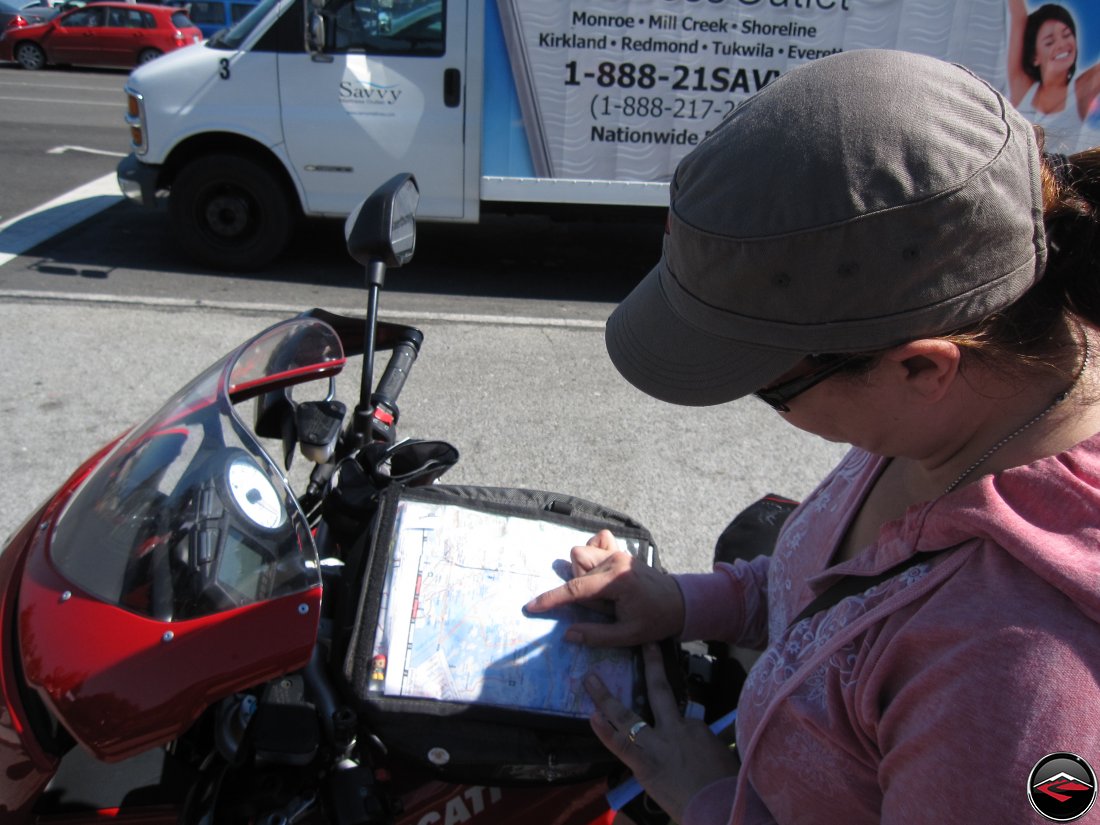
We still had a little time to wait for the next ferry ride, so we did a little planning and familirization with where we’d be heading next.
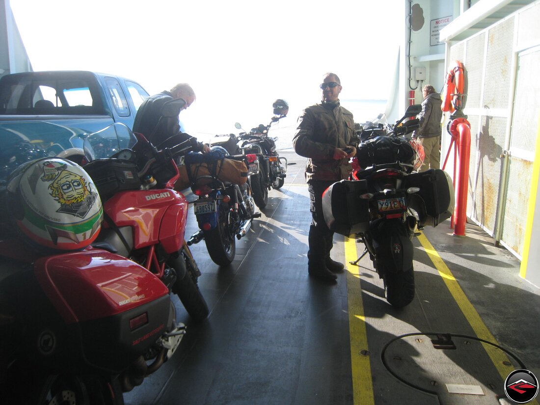
Priority boarding for motorcycles never seems to get old. It’s not often you get to go first, no matter what.
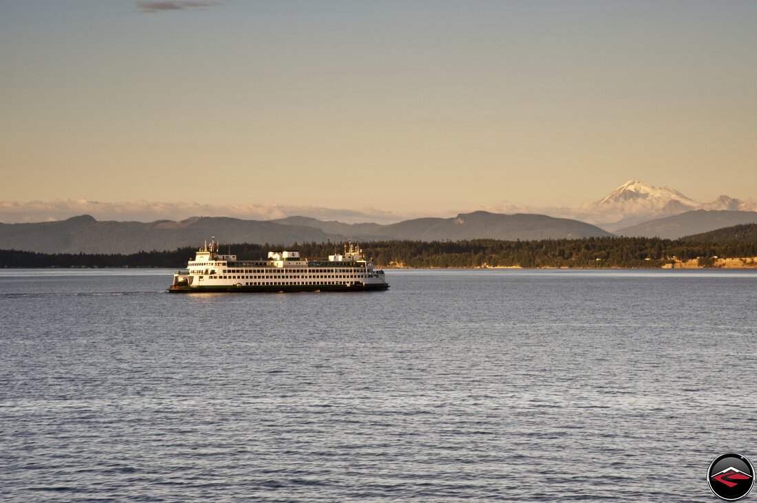
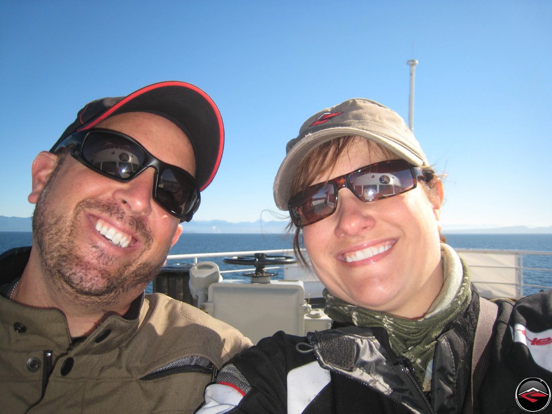
We tucked the bikes in and headed up top to enjoy the sunny afternoon ferry ride across the Haro Strait on our way to Canada.
Anacortes in the background.
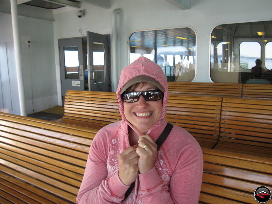
Even though it was a warm September afternoon, the wind coming off the pacific northwest ocean was chlling.

I tried to capture a few panoramic images of just how fast and beautiful this part of the world is. There is still snow on top of Mount Baker.
The cutest ferry boats you’ve ever seen were just trundling their way around making the scene that much more idyllic.
Excitement grew as we drew near the border. We prepped and we ready to disembark, with passports in hand.

Welcome to the best place on earth! British Columbia Canada. A very humble and modest tourism sign.
Despite not riding so very much, we found our way to the nearest hotel and checked in, throw off the motorcycle boots, kicked up our feet and hand an icy cold suds.
But adventuring we must go. So we grabbed a few things and started off for a walk around the nearby Beacon Park. The area is wildy popular for whale watching and scuba diving but they also have an extensive Aviation Museum (which was closed while we were there.)

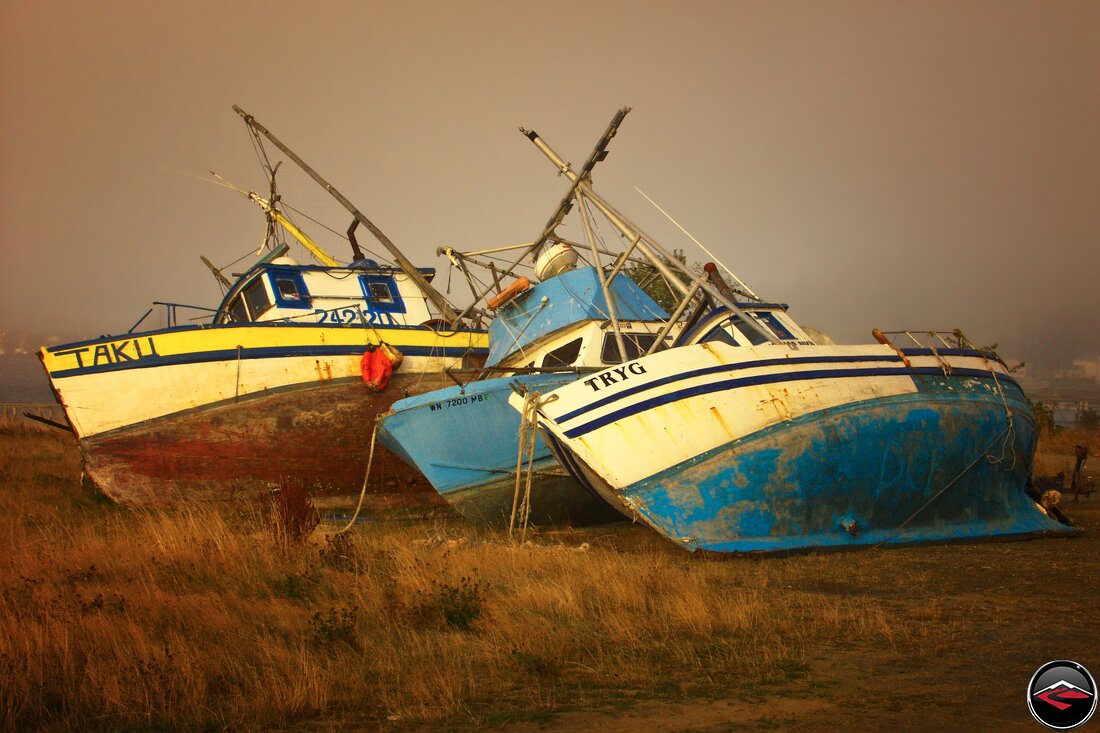
This are very big bones, but the area most known for fishing of Chinook Salmon, Ling Cod and various rockfish. Sadly the area has been over-fished have really made sports fishing suffer.

But how can you not love a down that puts up statues for mans best friend?
Stunning Vancouver Island
And Insanely Slow Speed Limits
Before leaving I had heard of a relatively newly paved road that follows some old logging routes through the central mountains of Vancouver Island. The main route that follows the eastern shore is essentially a free-way so we were excited to see if we’d be able to find this new road.
We did. The road makes a sharp turn over a single-lane bridge, past a campground and into the mountains. We were excited.
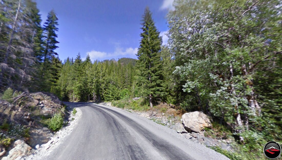
The road is a signle lane of asphalt that runs up towards Lake Cowichan and offers a multitude of cornering opportunites with virtually zero traffic.
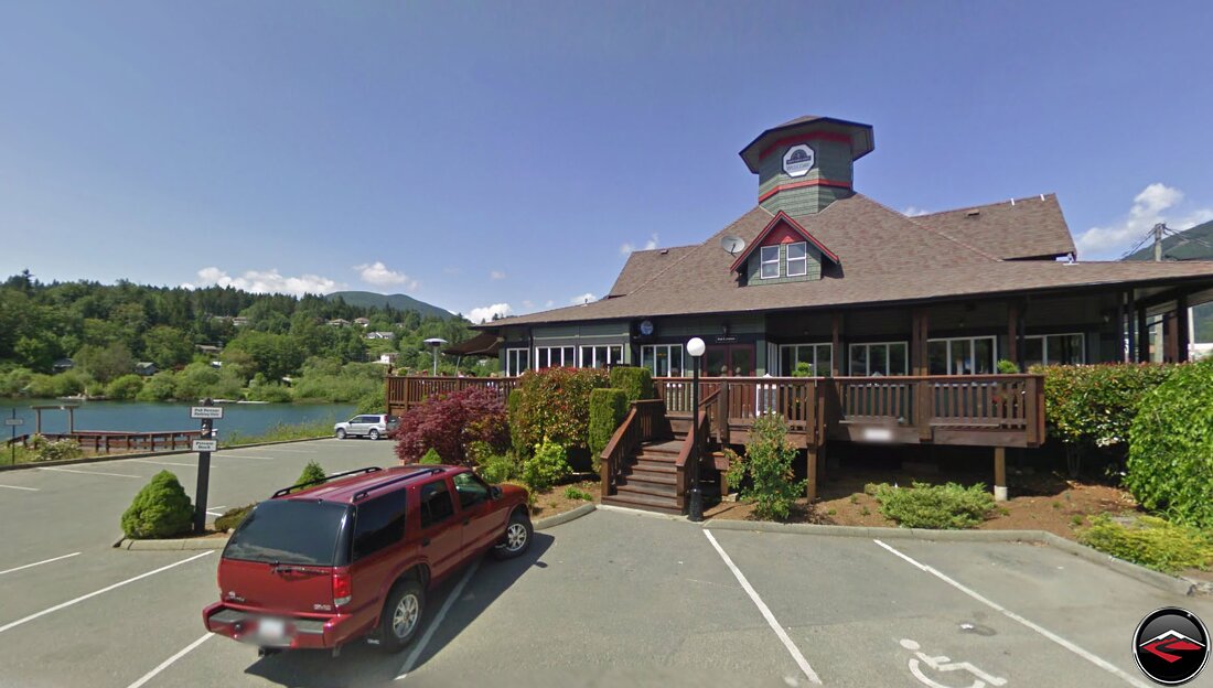
By the timw we reached Lake Cowichan we were ready for a meal. We were happy to find Cowichan Lake Irish Pub. It was traditional pub fare and the perfect weather cool temperatures allowed us to enjoy our meal on the patio overlooking the water.
After lunch, all we had left to accomplish for the day was to make it up to Comox where we would catch the first ferry of the morning.
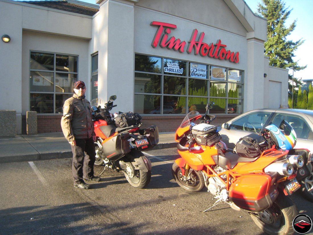
Being in Canada, it seemed only appropriate to begin our day with Tim Hortons coffee and donuts. I really wish we had Tim Hortons in the states.
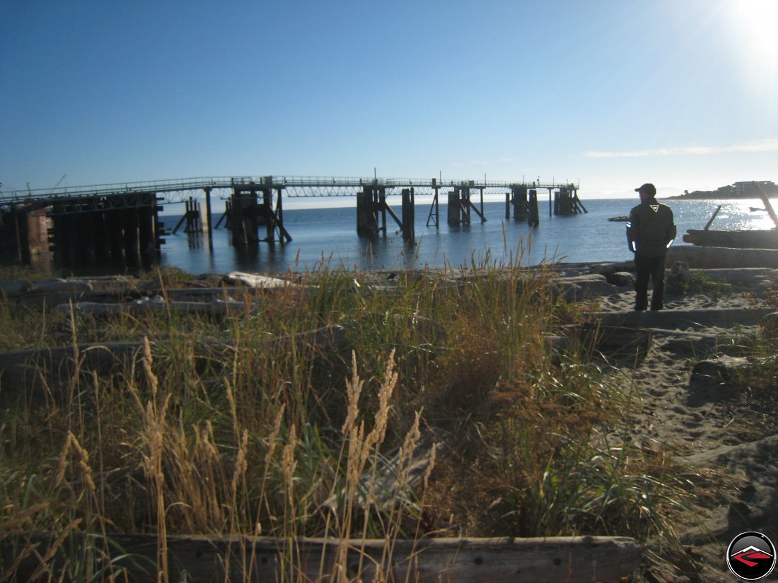
We arrived at the Comox Ferry Terminal with plenty of time to spare, which allowed for some time to wander along the beach for a few moments.
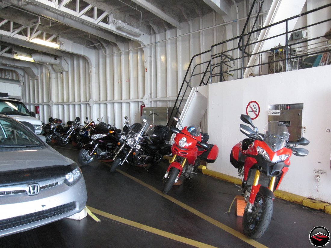
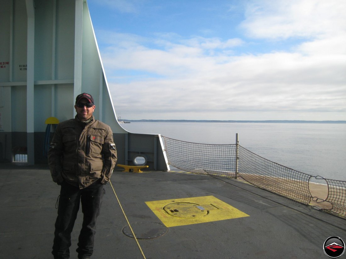
And now for the obligatory ferry photo. On the rougher ferry rides they provide these orange stepped blocks that you place underneath the motor, opposite the sidestand. This helps prevent the bike from rocking and toppling over.
The front of the ferry was windy and cold, but that didn’t stop us from heading up there anyways.
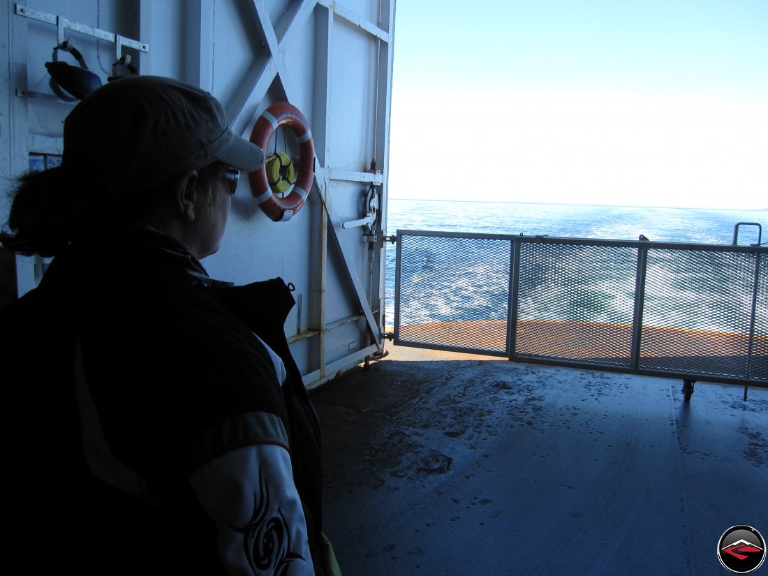
However, the stern of the boat was much calmer and quieter and allowed Kris to do some quiet contemplation.

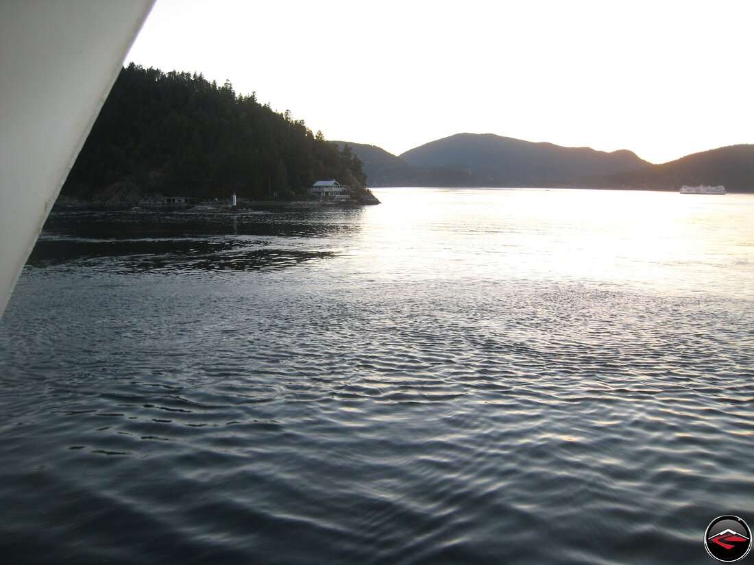
After disembarking we had a full run of riding with no traffic in front of us before we hopped the second of three ferry’s. The last time we took this route, the second ferry was old and creaky, but apparently it has been replaced with a brand new, shiney, white boat.
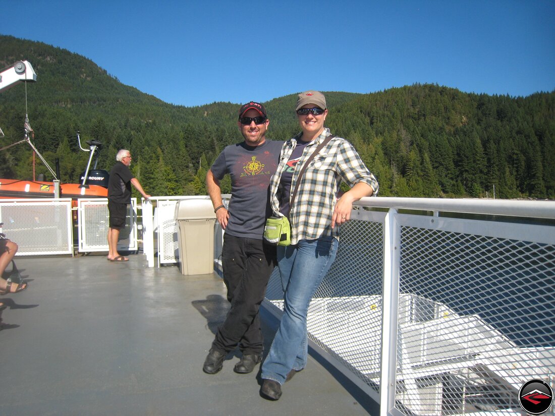
There were several other motorcyclists who were happy to take our photo for us. No tripod required.
Getting ready for the final and last leg of epic coastal riding.
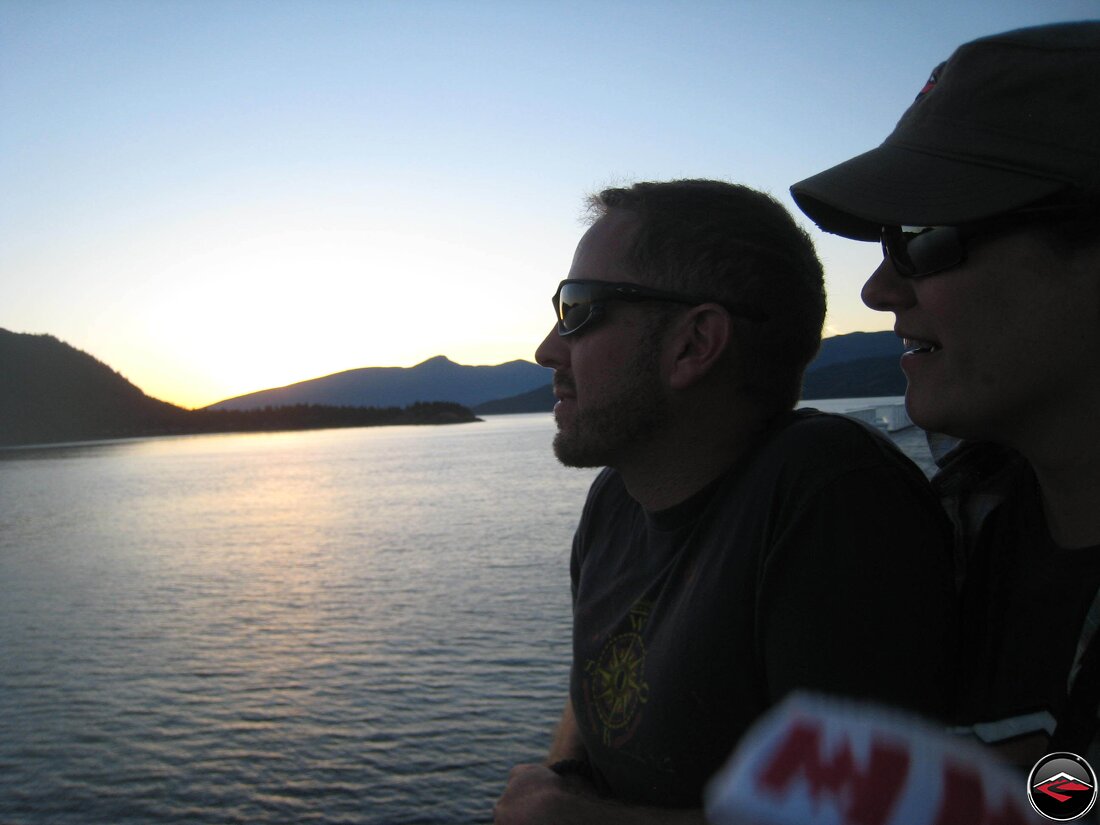
On the final ferry ride to horseshoe bay, we were able to sit on top and watch the sun set. It was nothing short of epic.
Look at all the motorcycles nestled in as we got ready to disembark at Horseshoe Bay.
Watching the sun set with perfect cabins and more Ferry Boats in the distance.
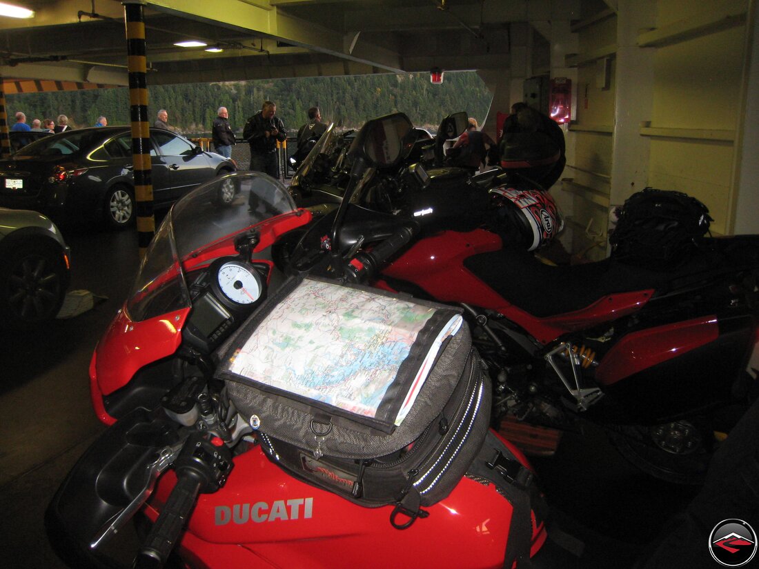
Motorcycles happy and safe on the ferry.
The Sunshine Coast
And Ferry Boats Too!
The hotel in Horseshoe bay was no great shakes, so after a cup of coffee at the nearby coffee shop we were rolling our way north.
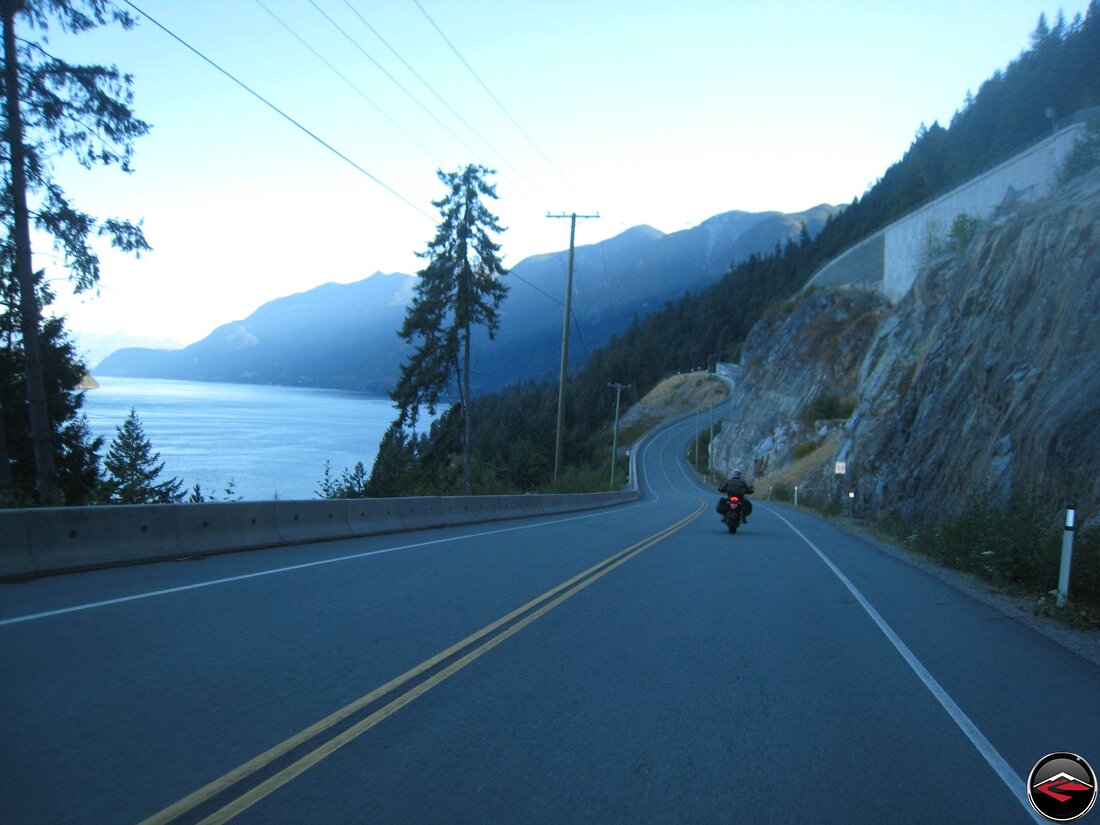
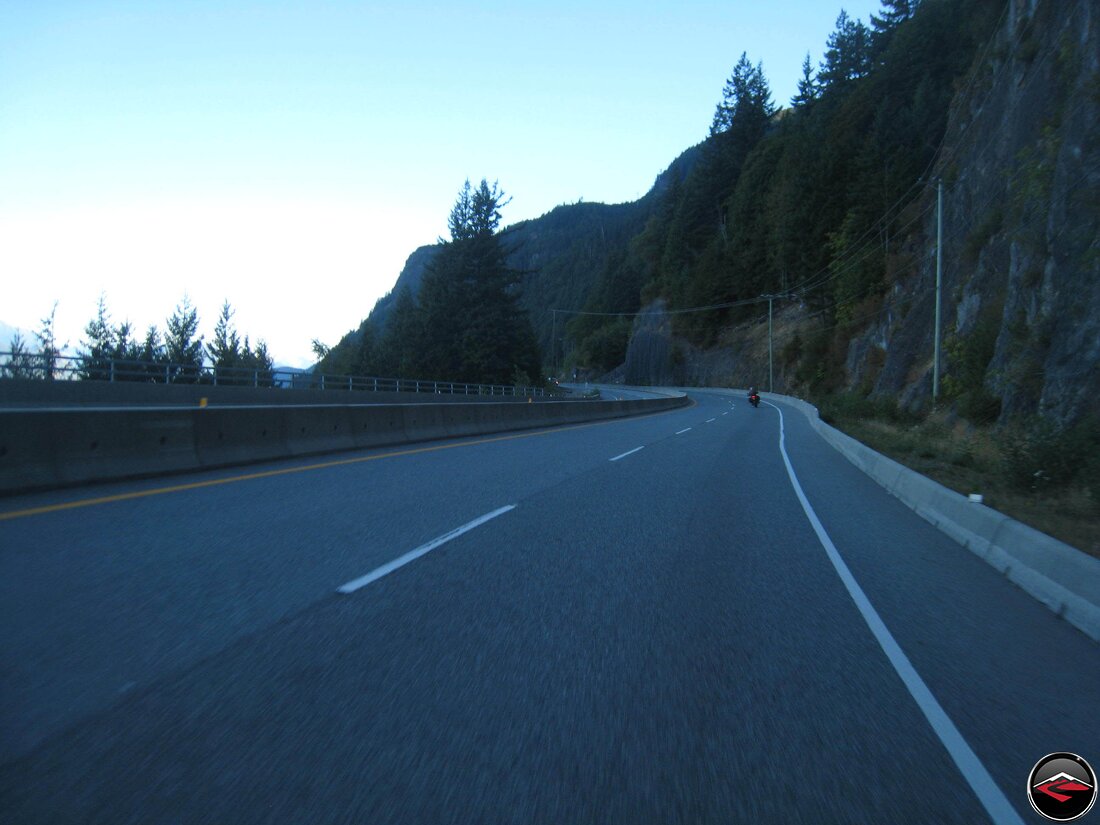
The Sea-to-Sky Highway used to be spectacular. But ever since the Winter Olympics came to the area, the road was widened and straightened and made safer, which really bummed us out.
Fortunately, it was early in the morning and there was very little traffic for us to contend with, so at least we had that going for us.
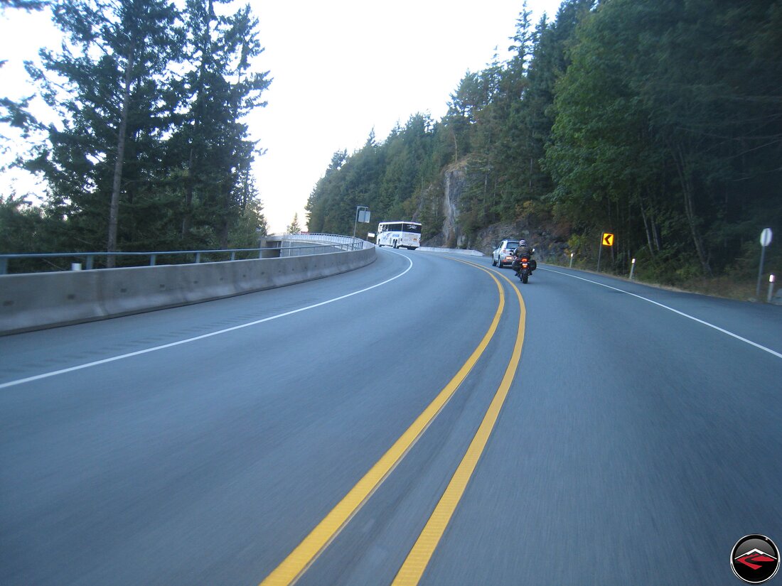
Well, no traffic until we came upon this super slow moving tour bus…. ugh…
Before long we had passed Whistler and all the Ski Resorts and with it, almost all the traffic was behind us, leaving us to enjoy ourselves unencumbered.
The road has half the character it once did, but the scenery is every bit as spectacular as it’s always been.
The tinge of fall was making itself ever more present the longer we were on the road, the light had that long cast to it and the air had that crisp bite.
Still we could not complain about how fantastic the weather had been, cooperating with us every bit of the way.
We made a quick stop for fuel in Lillooet at Lightfoot Gas. A large grassy area was a pleasant spot to lounge around on and rehydrate.
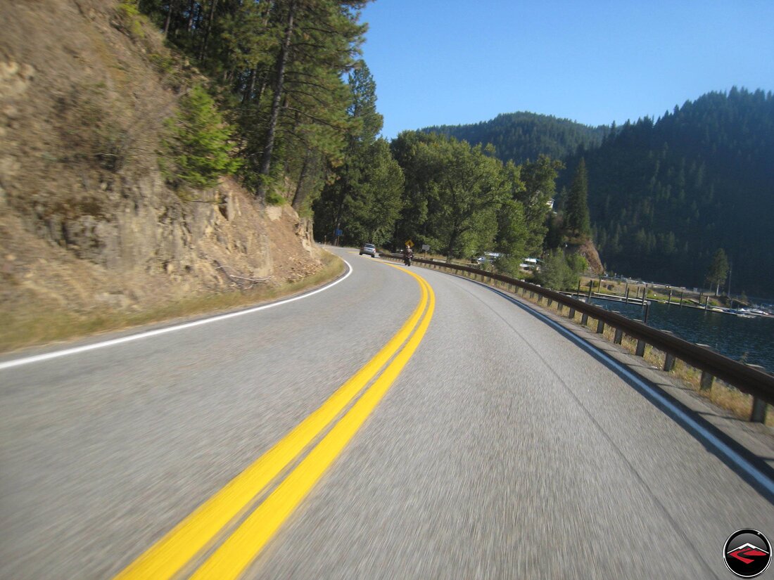
We pushed through the hotspot of Kamloops, Canada and onto one of our favorite roads, BC-Highway 6 between Vernon, through Cherryville and into Needles, where we’d catch another ferry.
Cool dog! The Needles-Fauquier Ferry is an old-style cable ferry that pulls you across Arrow Lake to Fauquier, British Columbia.
The Ferry was delayed so the sun was really starting to drop before we were even able to board.
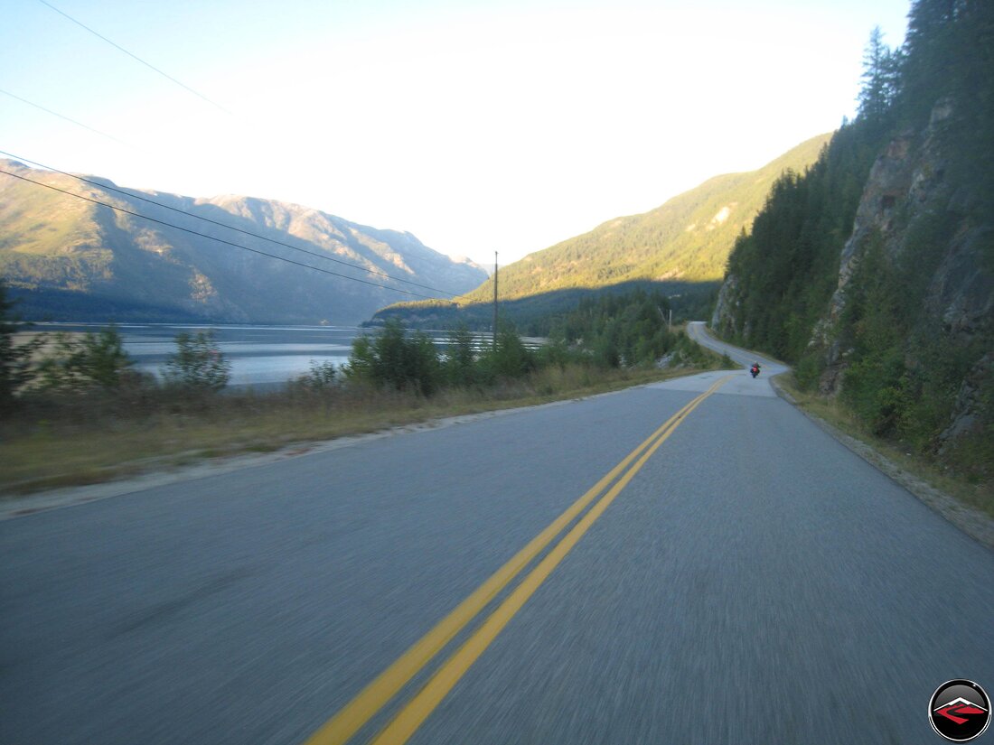
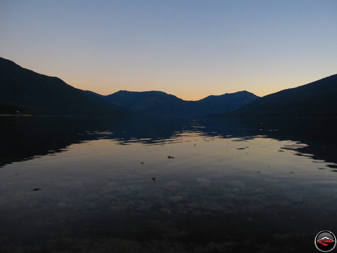
Once off in Fauquier, it was just a fast blast north along the shores of Upper Arrow Lake to Nakusp where we’d for sure be spending the evening.
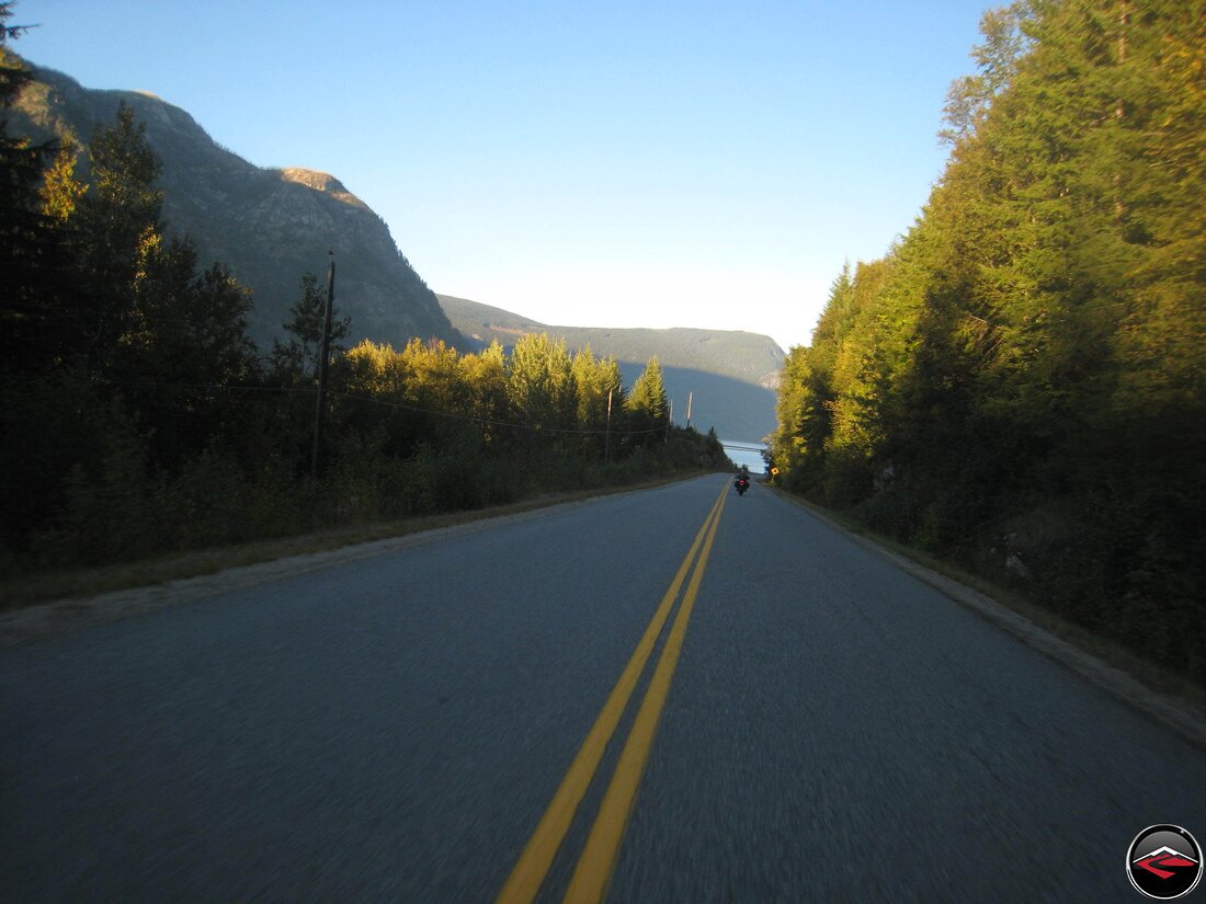
BC-Highway 6 may not be the most technical road on the map, but the scenery is spectacular, made even more so by the soft, warm glow of the setting sun.
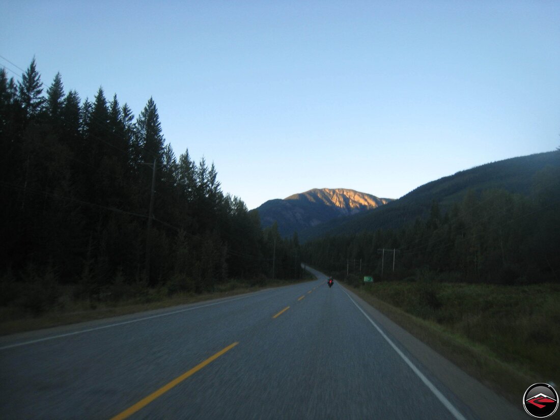
The last rays of sunglight clinging to the highest peaks.
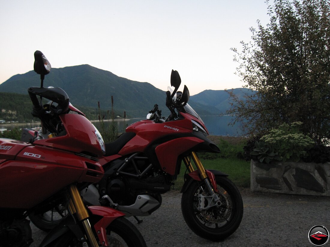
We booked into a room at the Leland Hotel in Nakusp, the oldest operating hotel in British Columbia. It’s worn and quaint and the staff is super friendly.
Sitting right on the shore of the river, the hotel offers fantastic views, as well as a great italian restaurant. And did we forget to mention twinkle lights?
That right there is Saddleback Mountain, right at sunset. It was a perfect way to wrap up a brilliant day of riding.
The Final Push Towards Home
And the Old Spiral Highway
Sadly, it was now time for the final push for home. We woke slowly, and took our time getting up, packing.

We went into town to a popular coffee shop that was so overwhelmed with customers that it took 90 minutes to get our coffee and muffin. But alas, Nakusp is a cuite little town and we only felt minor agitation as we enjoyed the morning’s comings and goings.
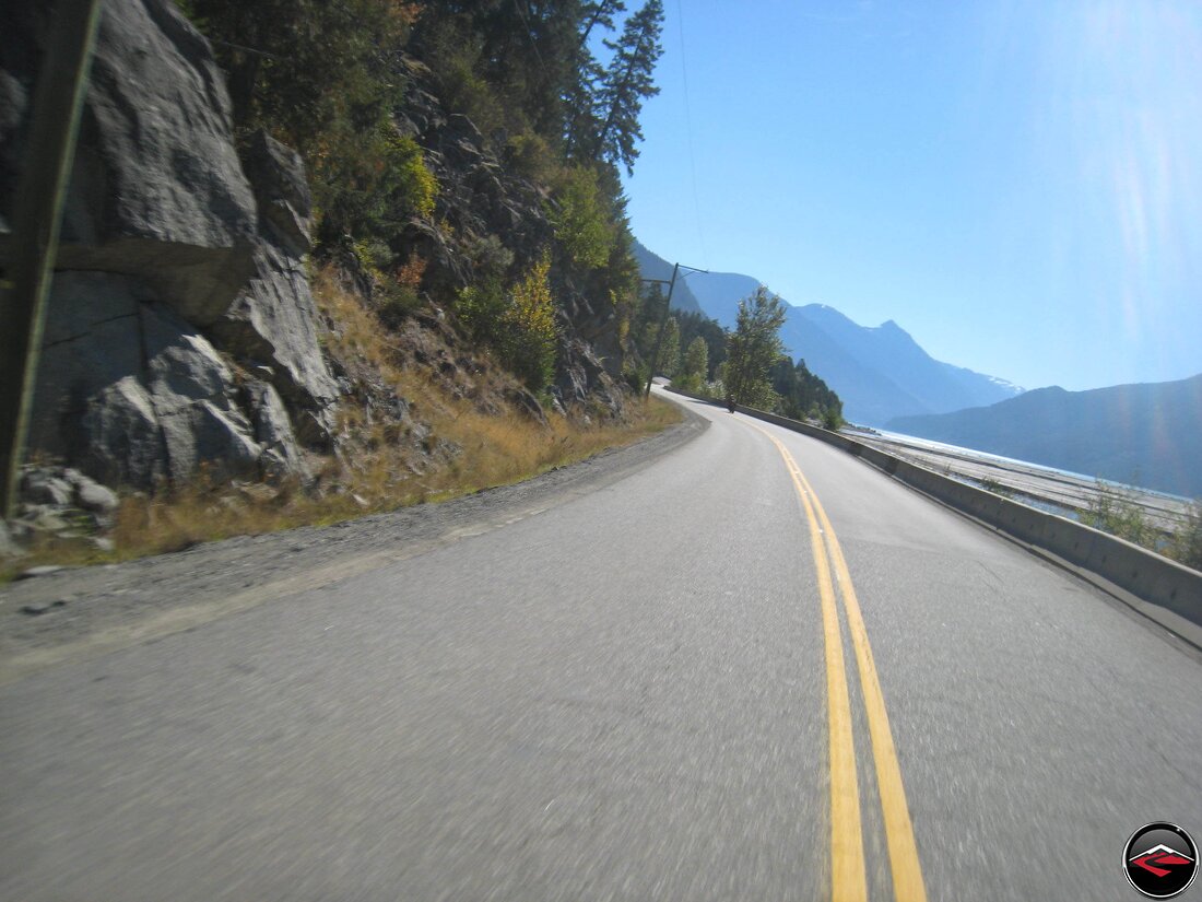
Another favorite road; BC-31A between Nakusp and Kaslo. A spectacular little route, with an unexpected Suprise in the middle….
We came across the Google Car doing some street-view mapping. We hung out behind him for a bit, then he slowed and waved us around. Our Canada trip immortalized on the Google.
With the Google car safely behind us, we pressed on towards Kaslo, into the bright, clear morning sun.
In Balfour we considered taking the Ferry over to Kootnay Bay as we have done so many times in the past, but the Ferry was delayed and it would probably be several hours before we could cross Kootenay Lake. BC-3A is a great road, but part of us wanted to see the town of Nelson and what lay south from there.
The 3A and Highway 6 south from Balfour was less twisty than the 3A on the east side of Kootenay Lake, but the scenery was still fantastic and the calmer riding was relaxing.
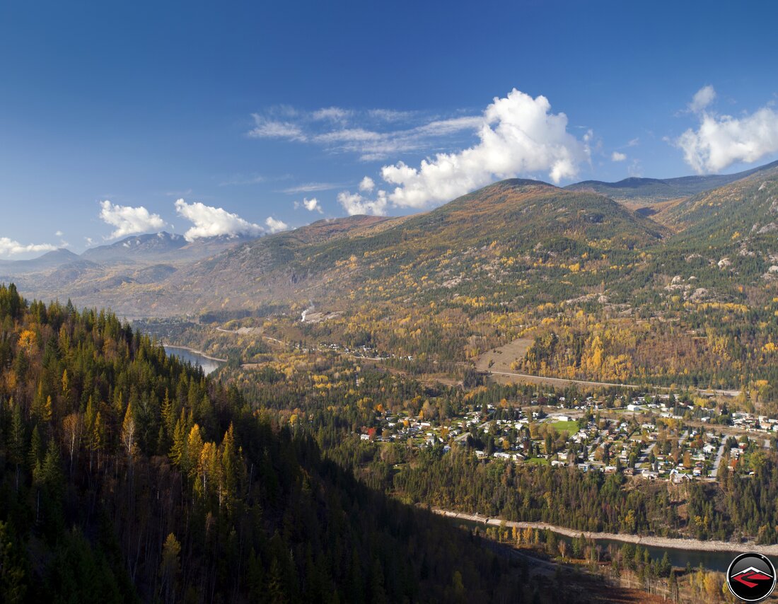
Rounding a corner, the town of Nelson came into view, nestled into the foothills of the Selkirt Mountains and the shores of Kooteney Lake, it was as pleasant of a town as we had ever seen.
Crossing the bridge into Nelson, it’s hard to imagine a more perfect looking town. But the idyllic Nelson we were enjoying almost never was.
Nelson is known as The Queen City becaus of all the restored historic buildings; buildings from the cities glory days during the silver rush in the late 1890s. In the 1980s, 100 years later, Nelson suffered a devestating econimic downturn when the local sawmill closed. To survive, instead of tearing down old buildings, Nelson decided to strip “Modern” aluminum facades and restore the downtown to it’s original brilliance, with fantastic results. Baker Street is magnificant and caught the eye of Hollywood. Nelson was the setting for the 1997 Steve Martin film, Roxanne.
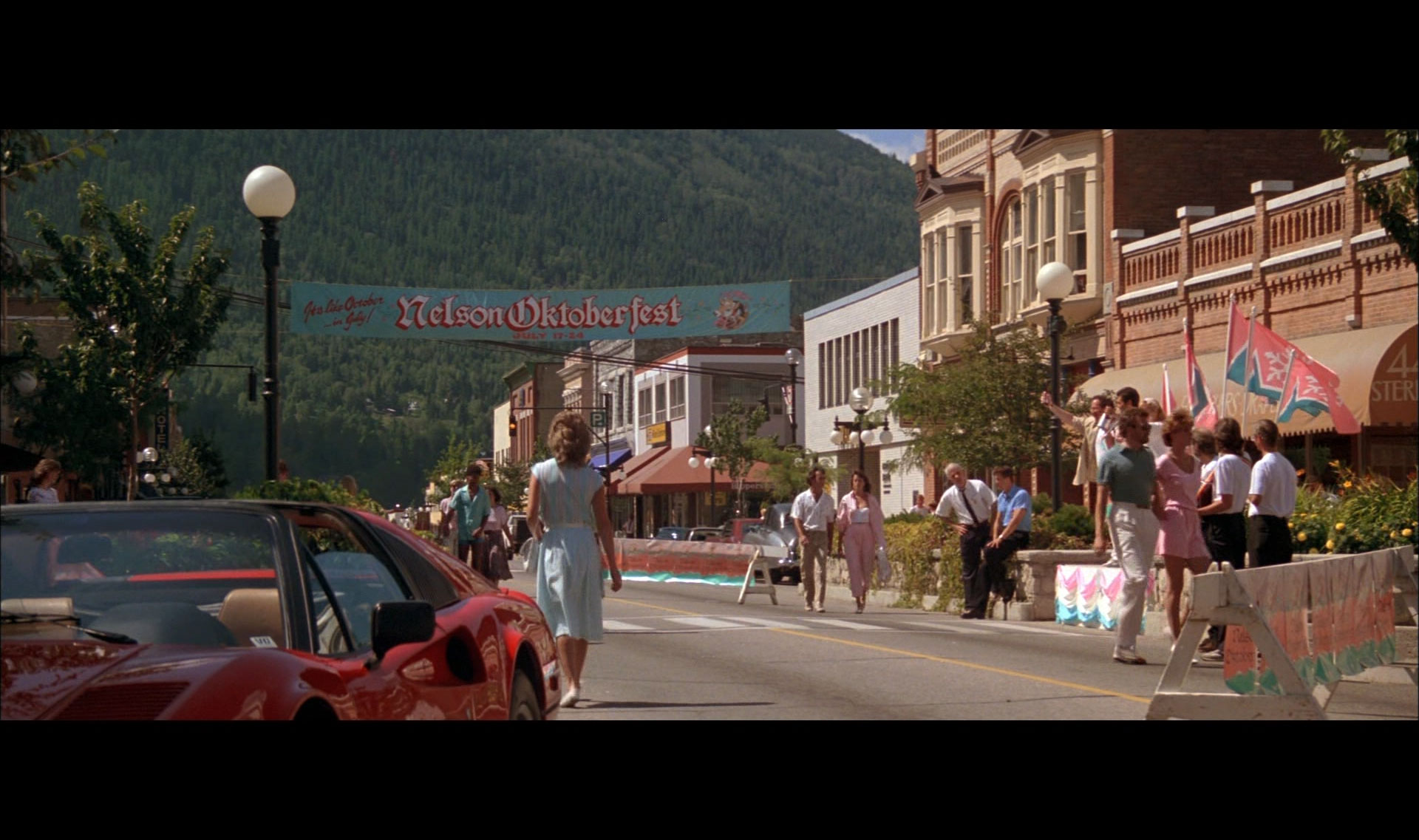
And here’s a screen shot from the film Roxanne. It’s the Nelson Octoberfest, in July – and apparently Ferrari’s are the norm in Nelson… In 1987.

Canada was now behind us as we crossed back into the United Statesin in Nelway on Highway 6/31. Homeleand Security has made this an arduous ordeal. Where it used to be crossing back into the United States, border guards would greet you with a warm smile and a “welcome home”. Not so much anymore. On this border crossing we were pulled off to the side and asked to empty every compartment and bag on our bikes and allow all of our pockets to be searched. I miss the old days.
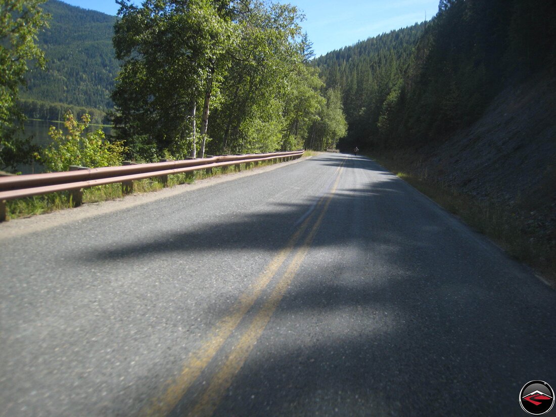
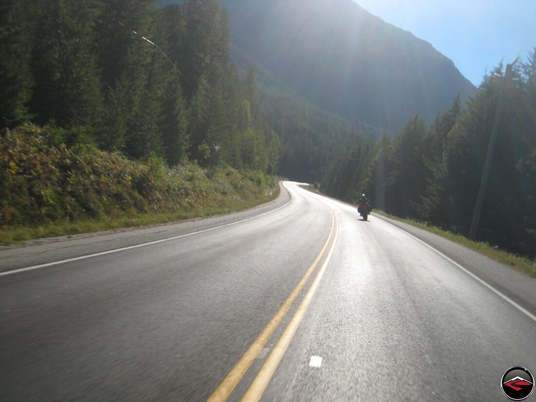
Into Washington, we rallied south on Highway 31, we turned east to do the Sullivan Lake Loop Road.
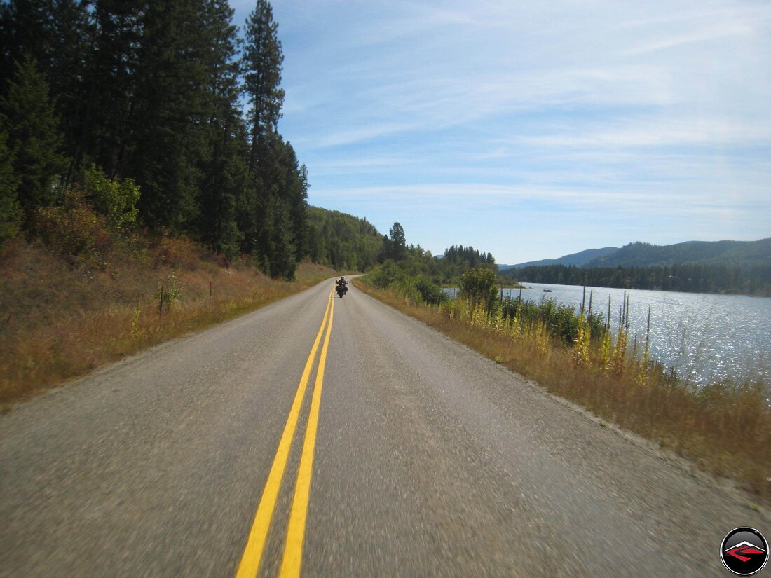
But despite the terrain and emptiness, the roads just meandered along lakes and rivers as we made our way closer and closer to home.
Once we made it Coeur D’Alene, we quickly made our way to another favorite, the Coeur D’Alene Lake Road. A fantastic series of super technical corners that we are sure to take advantage of every time we are up this way.
We were like Barn-Sour horses pushing hard towards home. Idaho Highway 3, 6 and 9 and then 99 until we ran into Idaho Highway 12 where we turned west and ran into Clarkston for the night.

You may wonder why we ran out of our way to Clarkston, Washington. Well it was for this. The Old Sprial Highway. We did it about three time times, then started working our way back to Boise.
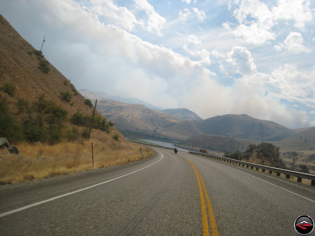
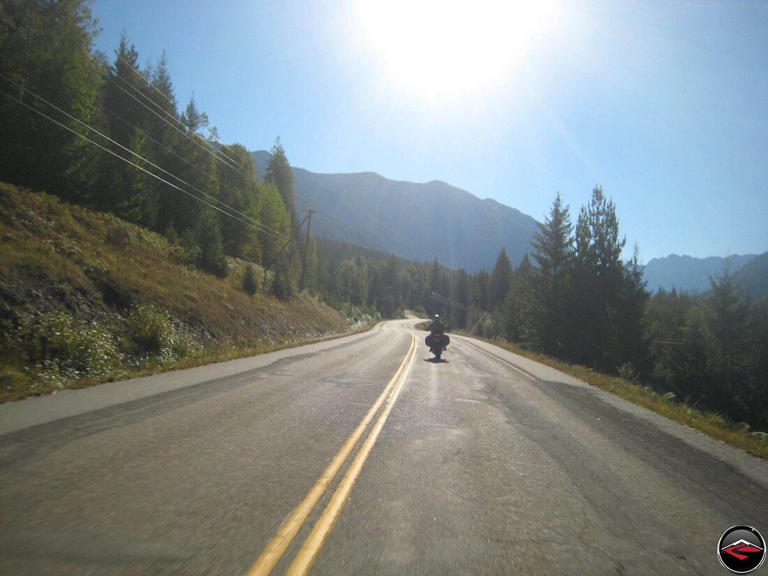
There wasn’t much of note between Clarkston and Grangeville, but then south of Grangevill we ran past a massive wildfire.
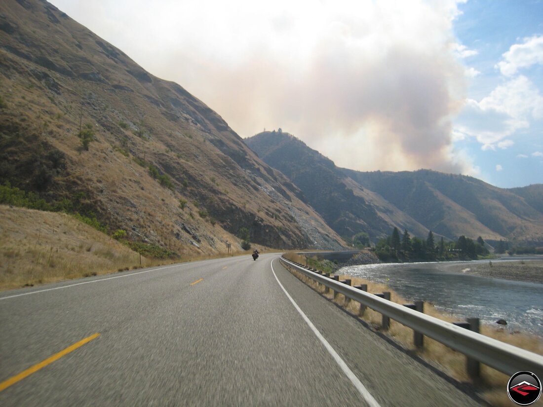
The heat was really helping the fire kick up lots of smoke. It was super hot, particularly after the pleasant temperate coastal climates. This made it hard for us to want to stop and just push on back to Boise where we’d reconnect with the pickup and make our way for home in the comfort of air conditioning.
Ahh Boise, the end of an epic adventure and as good of a way as we could think to heal from the loss of our old frind, old man Jake.